Manzara Cafe
Manzara Cafe is a café in Town of Brighton, Rochester and Suburbs, New York which is located on Monroe Avenue. Manzara Cafe is situated nearby to The Harley School, as well as near First Baptist Church.| Tap on a place to explore it |
- Opening hours: Sunday—Thursday 8:00 AM—9:00 PM and Friday—Saturday 8:00 AM—11:00 PM
- Type: Café
- Cuisine: Turkish, coffee shop, breakfast, and dessert
- Address: 1-2, 2341 Monroe Avenue, Rochester, NY 14618
Places of Interest Nearby
Highlights include The Harley School and Brighton High School.
The Harley School
School
The Harley School is a college preparatory, independent day school in Rochester, New York, United States. The Harley School is situated 2,100 feet east of Manzara Cafe.
Brighton High School
School building

Photo: DanielPenfield, CC BY-SA 4.0.
Brighton High School, commonly abbreviated BHS, is a public high school located in Brighton, an incorporated town adjacent to the southeast border of Rochester, New York, United States. Brighton High School is situated 2,700 feet northwest of Manzara Cafe.
Allendale Columbia School
School
Allendale Columbia School is an independent, nonsectarian, college preparatory school for students in nursery through twelfth grade in Rochester, New York, USA. Allendale Columbia School is situated 1 mile east of Manzara Cafe.
Places in the Area
Nearby places include Brighton and Can of Worms.
Brighton
Town

Photo: DanielPenfield, CC BY-SA 3.0.
Brighton is a town and census-designated place in Monroe County, New York, United States. The population was 37,137 at the 2020 census.
Can of Worms
Locality
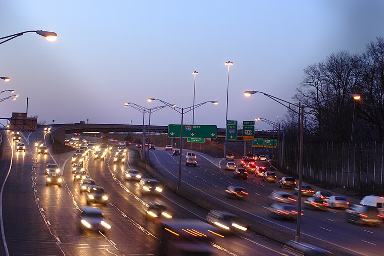 The Can of Worms is the local name for the intersection of Interstate 490, I-590, New York State Route 590, NY 96, and University Avenue on the east side of Rochester, New York, in the United States. Can of Worms is situated 1½ miles north of Manzara Cafe.
East Avenue Historic District
Neighborhood

Photo: Tim Pierce, CC BY-SA 3.0.
East Avenue Historic District is a national historic district located at Rochester in Monroe County, New York. The district consists of a series of large 19th and early 20th century homes, houses of worship, meeting houses, and museums. East Avenue Historic District is situated 2½ miles northwest of Manzara Cafe.
Manzara Cafe
Latitude
43.11966° or 43° 7′ 11″ northLongitude
-77.5576° or 77° 33′ 27″ westOpen location code
87M44C9R+VXOpenStreetMap ID
node 8785865782OpenStreetMap feature
amenity=cafeOpenStreetMap attribute
cuisine=turkishOpenStreetMap attribute
cuisine=coffee_shopOpenStreetMap attribute
cuisine=breakfastOpenStreetMap attribute
cuisine=dessert
This page is based on OpenStreetMap, Wikidata, and Wikimedia Commons.
We’d love your help improving our open data sources. Thank you for contributing.
Satellite Map
Discover Manzara Cafe from above in high-definition satellite imagery.
Notable Places Nearby
Highlights include First Baptist Church and Atonement Lutheran Church.
Nearby Places
Explore places such as Towpath Motel and The Men’s Room.
Rochester and Suburbs: Must-Visit Destinations
Delve into Rochester, Fairport, Victor, and East Rochester.
Curious Cafés to Discover
Uncover intriguing cafés from every corner of the globe.
About Mapcarta. Data © OpenStreetMap contributors and available under the Open Database License". Text is available under the CC BY-SA 4.0 license, except for photos, directions, and the map. Photo: Wikimedia, CC0.