Strandhus 1
Strandhus 1 is an apartment in Lower Saxony, Germany. Strandhus 1 is situated nearby to the miniature golf course Naturminigolf Dangast, as well as near Geest Waldpfad.| Tap on a place to explore it |
Places of Interest Nearby
Highlights include Schöpfwerk Petershörn.
Schöpfwerk Petershörn
Pumping station

Photo: Martina Nolte, CC BY-SA 3.0 de.
Schöpfwerk Petershörn is a pumping station, which is situated 2 km southwest of Strandhus 1.
Places in the Area
Nearby places include Dangast and Moorhausen.

Moorhausen
Neighborhood
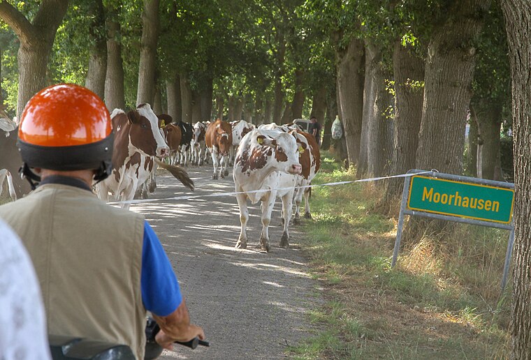
Photo: Berliner Kartenspieler, CC BY-SA 4.0.
Moorhausen is a neighborhood, which is situated 3 km southeast of Strandhus 1.
Varel

Photo: Dickelbers, CC BY-SA 3.0.
Varel is a small town in East Frisia, near the Jade River, and south of Wilhelmshaven and Oldenburg. There is a well-known church dating back to 1144, although nowadays the town had a population of 24,000 in 2020, and the church is Lutheran.
Strandhus 1
- Type: Apartment
- Categories: tourism, accommodation, and building
- Location: Lower Saxony, Germany, Central Europe, Europe
- View on OpenStreetMap
Latitude
53.44805° or 53° 26′ 53″ northLongitude
8.11424° or 8° 6′ 51″ eastOpen location code
9F5CC4X7+6MOpenStreetMap ID
node 8807493304OpenStreetMap feature
tourism=apartment
This page is based on OpenStreetMap, Wikidata, and Wikimedia Commons.
We’d love your help improving our open data sources. Thank you for contributing.
Satellite Map
Discover Strandhus 1 from above in high-definition satellite imagery.
Notable Places Nearby
Highlights include Naturminigolf Dangast and Geest Waldpfad.
Nearby Places
Explore places such as Strandhus 2 and Haus am Nordseestrand.
Lower Saxony: Must-Visit Destinations
Delve into Hanover, Göttingen, Brunswick, and Wolfsburg.
Curious Apartments to Discover
Uncover intriguing apartments from every corner of the globe.
About Mapcarta. Data © OpenStreetMap contributors and available under the Open Database License". Text is available under the CC BY-SA 4.0 license, except for photos, directions, and the map. Photo: Danapit, CC BY-SA 3.0.