Centre de secours principal Perpignan-Nord
Centre de secours principal Perpignan-Nord is a fire station in Perpignan, Pyrénées-Orientales, Occitanie which is located on Rue du Lieutenant Gourbault. Centre de secours principal Perpignan-Nord is situated nearby to the government office Service départemental d’incendie et de secours des Pyrénées-Orientales, as well as near the public building OCCE66.| Tap on a place to explore it |
- Type: Fire station
- Also known as: “CSP Perpignan-Nord”
- Address: Rue du Lieutenant Gourbault
Places of Interest Nearby
Highlights include Église Saint-François-d’Assise du Vernet and Castillet.
Église Saint-François-d’Assise du Vernet
Church

Photo: Claudefà, CC BY-SA 4.0.
Église Saint-François-d’Assise du Vernet is a church, which is situated 380 metres east of Centre de secours principal Perpignan-Nord.
Castillet

Photo: Palauenc05, CC BY-SA 4.0.
The Castillet is an ancient fortification and city gate located in Perpignan. Today, this monument, a strong symbol of the city, has become a museum: Museu Català de les Arts i Tradicions Populars. Castillet is situated 1 km southeast of Centre de secours principal Perpignan-Nord.
Aimé Giral Stadium
Stadium

Photo: Wikimedia, Public domain.
Stade Aimé Giral is a multi-purpose stadium in Perpignan, France. It is currently used mostly for rugby union matches and is the home stadium of USA Perpignan. Aimé Giral Stadium is situated 1 km northeast of Centre de secours principal Perpignan-Nord.
Places in the Area
Nearby places include Saint-Estève and Bompas.
Saint-Estève
Town

Photo: Indif, CC BY-SA 3.0.
Saint-Estève is a commune in the Pyrénées-Orientales department in southern France. Saint-Estève is situated 3½ km west of Centre de secours principal Perpignan-Nord.
Bompas
Village

Photo: Culex, CC BY-SA 4.0.
Bompas is a commune in the Pyrénées-Orientales department in southern France. Bompas is situated 5 km northeast of Centre de secours principal Perpignan-Nord.
Castell Rosselló
Hamlet
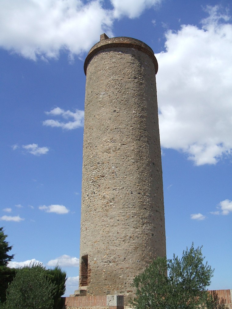
Photo: LeZibou, CC BY-SA 3.0.
Castell Rosselló is a hamlet, which is situated 5 km east of Centre de secours principal Perpignan-Nord.
Centre de secours principal Perpignan-Nord
Latitude
42.70723° or 42° 42′ 26″ northLongitude
2.88542° or 2° 53′ 8″ eastOpen location code
8FJ4PV4P+V5OpenStreetMap ID
node 8870440664OpenStreetMap feature
amenity=fire_station
This page is based on OpenStreetMap, Wikidata, and Wikimedia Commons.
We’d love your help improving our open data sources. Thank you for contributing.
Satellite Map
Discover Centre de secours principal Perpignan-Nord from above in high-definition satellite imagery.
Notable Places Nearby
Highlights include Service départemental d’incendie et de secours des Pyrénées-Orientales and OCCE66.
Nearby Places
Explore places such as Pompiers and Pompiers.
Pyrénées-Orientales: Must-Visit Destinations
Delve into Céret, Collioure, Arles-sur-Tech, and Cerbère.
Curious Fire Stations to Discover
Uncover intriguing fire stations from every corner of the globe.
About Mapcarta. Data © OpenStreetMap contributors and available under the Open Database License". Text is available under the CC BY-SA 4.0 license, except for photos, directions, and the map. Photo: Christophe Marcheux, CC BY-SA 3.0.