Thekla Bär
Thekla Bär is a memorial in Darmstadt, Wissenschaftsstadt, Darmstadt, Hesse. Thekla Bär is situated nearby to the school Goetheschule, as well as near the sports venue Sporthalle Gotheschule.| Tap on a place to explore it |
Places of Interest Nearby
Highlights include Johanneskirche and Goetheschule.
Johanneskirche
Church
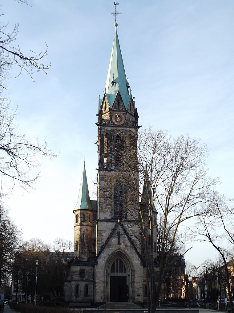
Photo: Erkaha, CC BY-SA 4.0.
Johanneskirche is a church, which is situated 180 metres northwest of Thekla Bär.

Mathildenplatz
Park

Photo: AxeldieRatte, CC BY-SA 4.0.
Mathildenplatz is a park, which is situated 300 metres southeast of Thekla Bär.
Places in the Area
Nearby places include Steubenplatz and Bessungen.

Bessungen
Quarter

Photo: Wikimedia, CC BY-SA 3.0.
Bessungen is a district in the South of the city of Darmstadt in Hesse.
Riedbahn
Suburb

Photo: Bjoertvedt, CC BY-SA 4.0.
Riedbahn is a suburb, which is situated 3 km northwest of Thekla Bär.
Thekla Bär
- Type: Memorial
- Inscription: “Hier wohnte Thekla Bär geb. Fränkel Jg. 1862 deportiert 1942 Theresienstadt tot 24.11.1942”
- Category: historic site
- Location: Darmstadt, Wissenschaftsstadt, Darmstadt, South Hesse, Hesse, Germany, Central Europe, Europe
- View on OpenStreetMap
Latitude
49.87721° or 49° 52′ 38″ northLongitude
8.64846° or 8° 38′ 55″ eastOpen location code
8FXCVJGX+V9OpenStreetMap ID
node 8875266857OpenStreetMap feature
historic=memorial
This page is based on OpenStreetMap, Wikidata, and Wikimedia Commons.
We’d love your help improving our open data sources. Thank you for contributing.
Satellite Map
Discover Thekla Bär from above in high-definition satellite imagery.
Notable Places Nearby
Highlights include Sporthalle Gotheschule and Eleonorenschule.
Nearby Places
Explore places such as Benny Bär and Ev. Kindertagesstätte Wittenberghaus.
South Hesse: Must-Visit Destinations
Delve into Bensheim, Lorsch, Heppenheim, and Dreieich.
Curious Memorials to Discover
Uncover intriguing memorials from every corner of the globe.
About Mapcarta. Data © OpenStreetMap contributors and available under the Open Database License". Text is available under the CC BY-SA 4.0 license, except for photos, directions, and the map. Photo: Inkey, Public domain.