Pointe à Guille
Pointe à Guille is a cape in Hauts-de-France, France.| Tap on a place to explore it |
Places of Interest
Highlights include Gare du Crotoy and National Nature Reserve of the Bay of Somme.
Gare du Crotoy
Railway station

Photo: Tangopaso, Public domain.
Gare du Crotoy is a railway station.
National Nature Reserve of the Bay of Somme
Nature reserve
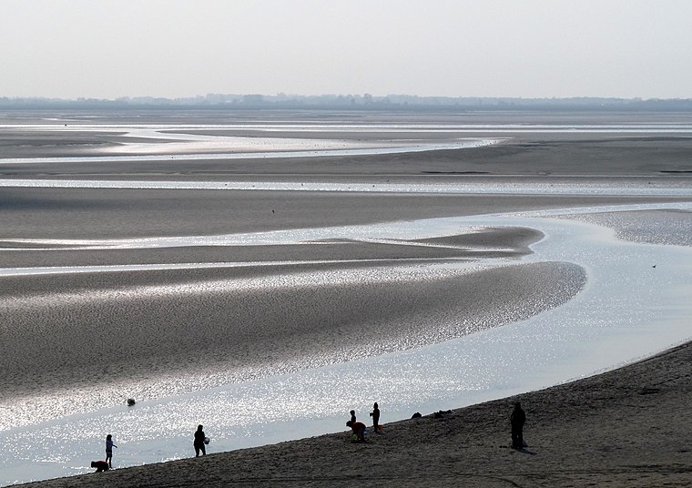
Photo: michael clarke stuff, CC BY-SA 2.0.
Église de Saint-Firmin-lès-Crotoy
Church

Photo: APictche, CC BY-SA 3.0.
Église de Saint-Firmin-lès-Crotoy is a church.
Places in the Area
Nearby places include Le Crotoy and Rue.
Le Crotoy
Village

Photo: Jean-Pol GRANDMONT, CC BY-SA 3.0.
Le Crotoy is a commune in the Somme department in Hauts-de-France in northern France. The inhabitants are known as Crotellois.
Rue
Village

Photo: Wikimedia, CC BY-SA 2.5.
Rue is a commune in the Somme department in Hauts-de-France in northern France.

Pointe à Guille
- Type: Cape
- Category: landform
- Location: Hauts-de-France, France, Europe
- View on OpenStreetMap
Latitude
50.2491° or 50° 14′ 57″ northLongitude
1.5925° or 1° 35′ 33″ eastOpen location code
9F236HXR+JXOpenStreetMap ID
node 8891034096OpenStreetMap feature
natural=cape
This page is based on OpenStreetMap, Wikidata, and Wikimedia Commons.
We’d love your help improving our open data sources. Thank you for contributing.
Satellite Map
Discover Pointe à Guille from above in high-definition satellite imagery.
Localities in the Area
Explore places such as Le Champ Neuf and Saint-Firmin.
Notable Places Nearby
Highlights include Plaine Est and Ranch de la Baie des Phoques.
Hauts-de-France: Must-Visit Destinations
Delve into Lille, Dunkirk, Calais, and Amiens.
Curious Capes to Discover
Uncover intriguing capes from every corner of the globe.
About Mapcarta. Data © OpenStreetMap contributors and available under the Open Database License". Text is available under the CC BY-SA 4.0 license, except for photos, directions, and the map. Photo: Inkey, Public domain.