Kultstätte zum Karl-May-Festival
Kultstätte zum Karl-May-Festival is an arts center in Moritzburg, Meissen, Saxony. Kultstätte zum Karl-May-Festival is situated nearby to the archaeological site Todhübel, as well as near the climbing site Jahresabschluss.| Tap on a place to explore it |
Places of Interest Nearby
Highlights include Lößnitzgrund railway stop and Bilzbad.
Lößnitzgrund railway stop
Railway stop

Photo: Rolf-Dresden, CC BY 3.0.
Lößnitzgrund railway stop is situated 190 metres northwest of Kultstätte zum Karl-May-Festival.
Bilzbad
Water park

Photo: Wikimedia, Public domain.
Bilzbad is a water park, which is situated 660 metres northwest of Kultstätte zum Karl-May-Festival.
Berg- und Lusthaus Hoflößnitz
Museum

Photo: Jbergner, Public domain.
Berg- und Lusthaus Hoflößnitz is a museum, which is situated 1 km southeast of Kultstätte zum Karl-May-Festival.
Places in the Area
Nearby places include Buchholz and Fürstenhain.


Radebeul
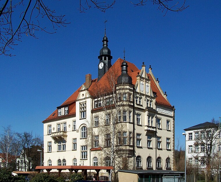
Photo: X-Weinzar, CC BY-SA 2.5.
Radebeul is a historic wine-growing town and residential suburb between Dresden and Meissen in Saxony, Germany. It is essentially an affluent garden suburb of Dresden, but not officially within city limits.
Kultstätte zum Karl-May-Festival
- Type: Arts center
- Categories: tourist attraction and tourism
- Location: Moritzburg, Meissen, Saxon Elbland, Saxony, Germany, Central Europe, Europe
- View on OpenStreetMap
Latitude
51.12008° or 51° 7′ 12″ northLongitude
13.65539° or 13° 39′ 19″ eastOpen location code
9F3M4MC4+25OpenStreetMap ID
node 8936111825OpenStreetMap feature
amenity=arts_centre
This page is based on OpenStreetMap, Wikidata, and Wikimedia Commons.
We’d love your help improving our open data sources. Thank you for contributing.
Satellite Map
Discover Kultstätte zum Karl-May-Festival from above in high-definition satellite imagery.
Places with the Same Name
Discover other places named “Kultstätte zum Karl-May-Festival”.
Notable Places Nearby
Highlights include Kultstätte zum Karl-May-Festival and Todhübel.
Nearby Places
Explore places such as Hoher Stein and Meierei Radebeul.
Saxon Elbland: Must-Visit Destinations
Delve into Dresden, Meißen, Riesa, and Radebeul.
Curious Arts Centers to Discover
Uncover intriguing arts centers from every corner of the globe.
About Mapcarta. Data © OpenStreetMap contributors and available under the Open Database License". Text is available under the CC BY-SA 4.0 license, except for photos, directions, and the map. Photo: Dr. Bernd Gross, CC BY-SA 3.0.