Baintwiese
Baintwiese is a bus stop in Linz, Upper Austria. Baintwiese is situated nearby to the sports venue ASKÖ Zöhrdorf, as well as near the pitch Skatepark - SKÖ Zöhrdorf.| Tap on a place to explore it |
Places of Interest Nearby
Highlights include St. Franziskus and Pfarrkirche Traun-St. Martin.
St. Franziskus
Church

Photo: Wikimedia, CC BY-SA 3.0.
St. Franziskus is a church, which is situated 690 metres north of Baintwiese.
Pfarrkirche Traun-St. Martin
Church

Photo: Wirthi, CC BY-SA 3.0.
Pfarrkirche Traun-St. Martin is a church, which is situated 1½ km west of Baintwiese.
Johanneskirche (Linz)
Church
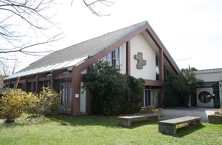
Photo: Wikimedia, CC BY-SA 3.0.
Johanneskirche (Linz) is a church, which is situated 1½ km north of Baintwiese.
Places in the Area
Nearby places include Ansfelden and Traun.
Ansfelden
Town

Photo: Wikimedia, CC BY-SA 3.0.
Ansfelden is a town in the Austrian state of Upper Austria. The rivers Traun and Krems run through the municipality. The town is perhaps best known for being the birthplace of the composer and organist Anton Bruckner. Ansfelden is situated 3½ km south of Baintwiese.
Traun

Photo: JamesA, CC BY-SA 3.0.
Traun is an Austrian municipality located on the north bank of the river Traun and borders Linz, the capital of Upper Austria, to the east. The name Traun is derived from the Celtic word for river.
Leonding
Town

Photo: Donald Judge, CC BY 2.0.
Leonding is a town southwest of Linz in the Austrian state of Upper Austria. It borders Puchenau and the river Danube in the north, Wilhering and Pasching in the west, Traun in the south and Linz in the east. Leonding is situated 5 km northwest of Baintwiese.
Baintwiese
- Type: Bus stop
- Categories: transport stop and transportation
- Location: Linz, Upper Austria, Austria, Central Europe, Europe
- View on OpenStreetMap
Latitude
48.24011° or 48° 14′ 24″ northLongitude
14.28179° or 14° 16′ 55″ eastOpen location code
8FWP67RJ+2POpenStreetMap ID
node 894043997OpenStreetMap feature
highway=bus_stopOpenStreetMap feature
public_transport=stop_position
This page is based on OpenStreetMap, Wikidata, and Wikimedia Commons.
We’d love your help improving our open data sources. Thank you for contributing.
Satellite Map
Discover Baintwiese from above in high-definition satellite imagery.
Notable Places Nearby
Highlights include ASKÖ Zöhrdorf and Fun Court - ASKÖ Zöhrdorf.
Nearby Places
Explore places such as Held & Francke Baugesellschaft and Baintwiese.
Upper Austria: Must-Visit Destinations
Delve into Hallstatt, Wels, Steyr, and Fugging.
Curious Bus Stops to Discover
Uncover intriguing bus stops from every corner of the globe.
About Mapcarta. Data © OpenStreetMap contributors and available under the Open Database License". Text is available under the CC BY-SA 4.0 license, except for photos, directions, and the map. Photo: Rsuessrb, CC BY-SA 3.0.