Font des Mendres
Font des Mendres is a spring in Montignargues, Arrondissement of Nîmes, Occitanie. Font des Mendres is situated nearby to the archaeological site Vallons des Baumes-Bruguiéres, as well as near the peak Serre des Galères.| Tap on a place to explore it |
Places of Interest Nearby
Highlights include Gare de Saint-Géniès-de-Malgoirès and Église Saint-Martin de Montagnac.
Gare de Saint-Géniès-de-Malgoirès
Railway station

Photo: Trainsandstations, CC BY-SA 4.0.
Gare de Saint-Géniès-de-Malgoirès is a railway station, which is situated 3 km east of Font des Mendres.
Église Saint-Martin de Montagnac
Church

Photo: Daniel VILLAFRUELA, CC BY-SA 4.0.
Église Saint-Martin de Montagnac is a church, which is situated 2½ km west of Font des Mendres.
Église Saint-Côme-et-Saint-Damien de Mauressargues
Church

Photo: FredSeiller, CC BY-SA 4.0.
Église Saint-Côme-et-Saint-Damien de Mauressargues is a church, which is situated 2½ km northwest of Font des Mendres.
Places in the Area
Nearby places include Mauressargues and Saint-Geniès-de-Malgoirès.
Mauressargues
Village
Photo: FredSeiller, CC BY-SA 4.0.
Mauressargues is a commune in the Gard department in southern France. Mauressargues is situated 2½ km northwest of Font des Mendres.
Saint-Geniès-de-Malgoirès
Village

Photo: Daniel VILLAFRUELA, CC BY-SA 4.0.
Saint-Geniès-de-Malgoirès is a commune in the Gard department in southern France. Saint-Geniès-de-Malgoirès is situated 3 km east of Font des Mendres.
Domessargues
Village
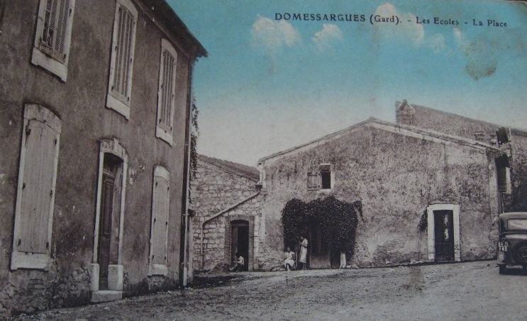
Photo: Wikimedia, Public domain.
Domessargues is a commune in the Gard department in southern France. Domessargues is situated 4 km north of Font des Mendres.
Font des Mendres
- Type: Spring
- Category: body of water
- Location: Montignargues, Arrondissement of Nîmes, Gard, Occitanie, France, Europe
- View on OpenStreetMap
Latitude
43.94166° or 43° 56′ 30″ northLongitude
4.1798° or 4° 10′ 47″ eastOpen location code
8FM6W5RH+MWOpenStreetMap ID
node 8977158958OpenStreetMap feature
natural=spring
This page is based on OpenStreetMap, Wikidata, and Wikimedia Commons.
We’d love your help improving our open data sources. Thank you for contributing.
Satellite Map
Discover Font des Mendres from above in high-definition satellite imagery.
Notable Places Nearby
Highlights include Vallons des Baumes-Bruguiéres and Serre des Galères.
Nearby Places
Explore places such as Serre des Galères and Mazet de Rouquette.
Gard: Must-Visit Destinations
Delve into Nîmes, Alès, Aigues-Mortes, and Remoulins.
Curious Springs to Discover
Uncover intriguing springs from every corner of the globe.
About Mapcarta. Data © OpenStreetMap contributors and available under the Open Database License". Text is available under the CC BY-SA 4.0 license, except for photos, directions, and the map. Photo: NikosB30, CC BY-SA 3.0.