Hans-Pumberger-Band
Hans-Pumberger-Band is in Grünau im Almtal, Gmunden District, Upper Austria. Hans-Pumberger-Band is situated nearby to the forest Ackerwaldl, as well as near the climbing site Hohes Kreuz.| Tap on a place to explore it |
Places of Interest Nearby
Highlights include Almtaler Köpfl and Schermberg.


Places in the Area
Nearby places include In der Röll and Elmgrube.
In der Röll
Locality
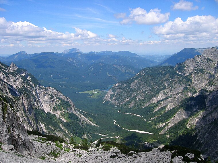
Photo: Tigerente, CC BY-SA 4.0.
In der Röll is a locality, which is situated 5 km west of Hans-Pumberger-Band.
Elmgrube
Locality

Photo: Tigerente, CC BY-SA 4.0.
Elmgrube is a locality, which is situated 9 km southwest of Hans-Pumberger-Band.
Hans-Pumberger-Band
- Type: Sign
- Categories: information and tourism
- Location: Grünau im Almtal, Gmunden District, Upper Austria, Austria, Central Europe, Europe
- View on OpenStreetMap
Latitude
47.7274° or 47° 43′ 39″ northLongitude
14.03834° or 14° 2′ 18″ eastOpen location code
8FVPP2GQ+X8OpenStreetMap ID
node 8979134499OpenStreetMap feature
tourism=information
This page is based on OpenStreetMap, Wikidata, and Wikimedia Commons.
We’d love your help improving our open data sources. Thank you for contributing.
Satellite Map
Discover Hans-Pumberger-Band from above in high-definition satellite imagery.
Notable Places Nearby
Highlights include Ackerwaldl and Hohes Kreuz.
Nearby Places
Explore places such as Glinsnerhütte (Jhtt.) and Hans Egger.
Upper Austria: Must-Visit Destinations
Delve into Linz, Hallstatt, Wels, and Steyr.
Curious Places to Discover
Uncover intriguing places from every corner of the globe.
About Mapcarta. Data © OpenStreetMap contributors and available under the Open Database License". Text is available under the CC BY-SA 4.0 license, except for photos, directions, and the map. Photo: Traveler100, CC BY-SA 3.0.