Les Hubiets
Les Hubiets is a hamlet in Les Hautes-Rivières, Arrondissement of Charleville-Mézières, Grand Est. Les Hubiets is situated nearby to the locality Haut Chantrigne, as well as near Le Corbeau.| Tap on a place to explore it |
Places of Interest
Highlights include Église de Linchamps and Croix Scaille.

Croix Scaille
Peak

Photo: TheMisterTom, CC BY 2.0.
The Croix Scaille is the plateau of a forested massif in the Ardennes, in Wallonia, bounded to the north by the valley of the Semois and to the east by the Meuse. Croix Scaille is situated 4 km north of Les Hubiets.
Tour du Millénaire

Photo: Wikimedia, CC BY-SA 3.0.
The tour du millénaire is a vantage point built in 2001 in Gedinne, Belgium just meters away from the French border. The tower consists of two tripods fitted together with three different viewing platforms. Tour du Millénaire is situated 4 km north of Les Hubiets.
Places in the Area
Nearby places include Bohan and Membre.
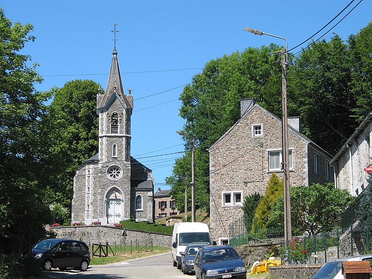
Bohan
Village

Photo: Jean-Pol GRANDMONT, CC BY 3.0.
Bohan is a village of Wallonia and a district of Vresse-sur-Semois, located in the province of Namur, Belgium. Most of the buildings in the village date from the 18th & 19th centuries. Bohan is situated 7 km southeast of Les Hubiets.
Les Hubiets
- Type: Hamlet
- Category: locality
- Location: Les Hautes-Rivières, Arrondissement of Charleville-Mézières, Ardennes, Grand Est, France, Europe
- View on OpenStreetMap
Latitude
49.91609° or 49° 54′ 58″ northLongitude
4.84073° or 4° 50′ 27″ eastOpen location code
8FX6WR8R+C7OpenStreetMap ID
node 9013268746OpenStreetMap feature
place=hamlet
This page is based on OpenStreetMap, Wikidata, and Wikimedia Commons.
We’d love your help improving our open data sources. Thank you for contributing.
Satellite Map
Discover Les Hubiets from above in high-definition satellite imagery.
Places with the Same Name
Discover other places named “Les Hubiets”.
Localities in the Area
Explore places such as Haut Chantrigne and Le Corbeau.
Notable Places Nearby
Highlights include La Roche du Saut Thibault and Chapelle Saint-Jean.
Grand Est: Must-Visit Destinations
Delve into Strasbourg, Reims, Metz, and Nancy.
Curious Hamlets to Discover
Uncover intriguing hamlets from every corner of the globe.
About Mapcarta. Data © OpenStreetMap contributors and available under the Open Database License". Text is available under the CC BY-SA 4.0 license, except for photos, directions, and the map. Photo: Tftx, CC BY 3.0.