Guardia Civil
Guardia Civil is a police station in Arico, Santa Cruz de Tenerife. Guardia Civil is situated nearby to the beach Playa el Porís, as well as near the village Porís de Abona.| Tap on a place to explore it |
Places of Interest Nearby
Highlights include Punta Abona Lighthouse and Playa de Los Abriguitos.
Punta Abona Lighthouse
Lighthouse

Photo: Boenki, CC BY-SA 4.0.
The Punta Abona Lighthouse is an active lighthouse on the south-eastern coast of Tenerife in the Canary islands. It is located between Abades and Poris de Abona, in the municipality of Arico. Punta Abona Lighthouse is situated 2 km south of Guardia Civil.
Playa de Los Abriguitos
Beach

Photo: Mike Peel, CC BY-SA 4.0.
Playa de Los Abriguitos is a beach, which is situated 2½ km south of Guardia Civil.
Hermitage of Our Lady of Carmen
Church

Photo: Mike Peel, CC BY-SA 4.0.
Hermitage of Our Lady of Carmen is a church, which is situated 2½ km south of Guardia Civil.
Places in the Area
Nearby places include Porís de Abona and Abades.

Abades
Hamlet
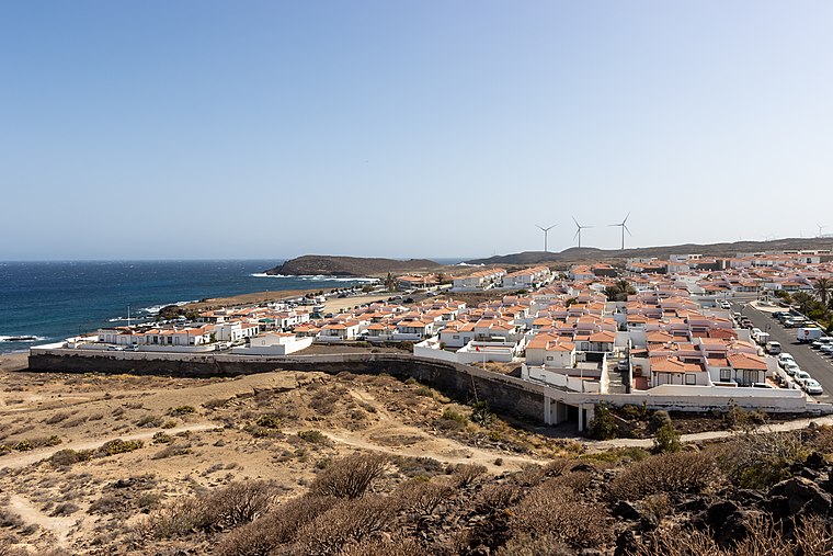
Photo: Mike Peel, CC BY-SA 4.0.
Abades “on Tenerife” is a small holiday resort located on the southeast coast of Tenerife, the largest of Spain’s Canary Islands, in the municipality of Arico, between Poris de Abona and La Jaca. Abades is situated 2½ km southwest of Guardia Civil.
Las Eras
Hamlet

Photo: Javiersanp, CC BY-SA 4.0.
Las Eras is a hamlet, which is situated 3½ km north of Guardia Civil.
Guardia Civil
- Type: Police station
- Location: Arico, Santa Cruz de Tenerife, Canary Islands, Spain, Iberia, Europe
- View on OpenStreetMap
Latitude
28.16477° or 28° 9′ 53″ northLongitude
-16.43218° or 16° 25′ 56″ westOperator
Civil GuardOpen location code
7CW55H79+W4OpenStreetMap ID
node 903037832OpenStreetMap feature
amenity=police
This page is based on OpenStreetMap, Wikidata, and Wikimedia Commons.
We’d love your help improving our open data sources. Thank you for contributing.
Satellite Map
Discover Guardia Civil from above in high-definition satellite imagery.
Places with the Same Name
Discover other places named “Guardia Civil”.
Notable Places Nearby
Highlights include Playa el Porís and Plaza Antonia Redondo Camareño.
Nearby Places
Explore places such as 70‘s Café and Al Mar.
Canary Islands: Must-Visit Destinations
Delve into Santa Cruz de Tenerife, Las Palmas, La Palma, and La Gomera.
Curious Police Stations to Discover
Uncover intriguing police stations from every corner of the globe.
About Mapcarta. Data © OpenStreetMap contributors and available under the Open Database License". Text is available under the CC BY-SA 4.0 license, except for photos, directions, and the map. Photo: Wikimedia, CC BY-SA 4.0.