Rosenkamp Schere
Rosenkamp Schere is a work of art in Solingen, Düsseldorf, North Rhine-Westphalia. Rosenkamp Schere is situated nearby to the cemetery Kath. Friedhof Rosenkamper Straße, as well as near the meadow Hühnerwiese.| Tap on a place to explore it |
Places of Interest Nearby
Highlights include St. Katharina and Hendrich’s Drop Forge.
St. Katharina
Church

Photo: Mabit1, CC BY-SA 4.0.
St. Katharina is a church, which is situated 450 metres northwest of Rosenkamp Schere.
Hendrich’s Drop Forge
Museum

Photo: Wikimedia, CC BY-SA 3.0.
The Hendrich's Drop Forge part of the LVR Industriemuseum is a museum in Solingen, a city in North Rhine-Westphalia, Germany. It is located on the northern edge of the region called Bergisches Land, south of the Ruhr. Hendrich’s Drop Forge is situated 730 metres south of Rosenkamp Schere.
Walder Stadtpark
Park
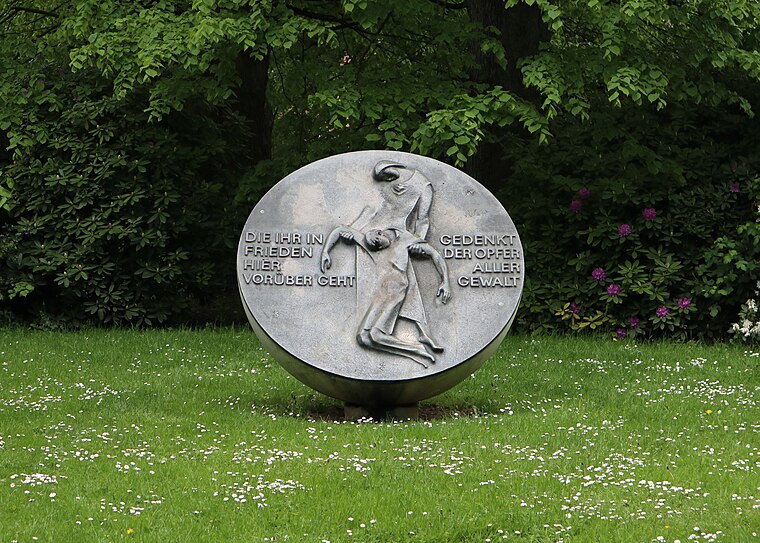
Photo: SolingenFan95, CC BY-SA 4.0.
Walder Stadtpark is situated 1 km northeast of Rosenkamp Schere.
Places in the Area
Nearby places include Wald and Solingen-Dahl.


Rosenkamp Schere
- Type: Work of art
- Artwork type: sculpture
- Category: tourism
- Location: Solingen, Düsseldorf, Bergisches Land, North Rhine-Westphalia, Germany, Central Europe, Europe
- View on OpenStreetMap
Latitude
51.17762° or 51° 10′ 39″ northLongitude
7.04022° or 7° 2′ 25″ eastOpen location code
9F3952HR+23OpenStreetMap ID
node 9038367426OpenStreetMap feature
tourism=artworkOpenStreetMap attribute
artwork_type=sculpture
This page is based on OpenStreetMap, Wikidata, and Wikimedia Commons.
We’d love your help improving our open data sources. Thank you for contributing.
Satellite Map
Discover Rosenkamp Schere from above in high-definition satellite imagery.
Notable Places Nearby
Highlights include Kath. Friedhof Rosenkamper Straße and Friedhofskapelle Rosenkamper Straße.
Nearby Places
Explore places such as Grundschule Am Rosenkamp and Kuddelmuddel e.V..
Bergisches Land: Must-Visit Destinations
Delve into Wuppertal, Bergisch Gladbach, Remscheid, and Gummersbach.
Curious Work Of Arts to Discover
Uncover intriguing work of arts from every corner of the globe.
About Mapcarta. Data © OpenStreetMap contributors and available under the Open Database License". Text is available under the CC BY-SA 4.0 license, except for photos, directions, and the map. Photo: DiAuras, CC BY-SA 4.0.