2da De Estrada
2da De Estrada is a quarter in Celaya, Guanajuato. 2da De Estrada is situated nearby to the quarter Las Huertas, as well as near Pedro Maria Anaya.| Tap on a place to explore it |
Places of Interest
Highlights include Celaya Airport.
Celaya Airport
Aerodrome
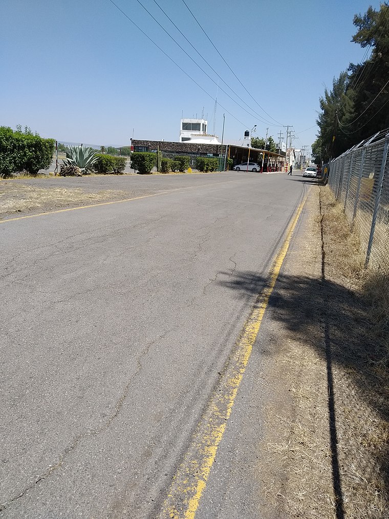
Photo: NS777, CC BY-SA 4.0.
Celaya National Airport; officially Aeropuerto Nacional Capitán Rogelio Castillo is a small airport located in Celaya, Guanajuato, Mexico. It handles domestic air traffic and supports flight training and general aviation activities. Celaya Airport is situated 2½ km northwest of 2da De Estrada.
2da De Estrada
- Type: Quarter
- Category: locality
- Location: Celaya, Guanajuato, Bajío, Mexico, North America
- View on OpenStreetMap
Latitude
20.5276° or 20° 31′ 39″ northLongitude
-100.87295° or 100° 52′ 23″ westOpen location code
75GXG4HG+2ROpenStreetMap ID
node 9038651191OpenStreetMap feature
place=quarter
This page is based on OpenStreetMap, Wikidata, and Wikimedia Commons.
We’d love your help improving our open data sources. Thank you for contributing.
Satellite Map
Discover 2da De Estrada from above in high-definition satellite imagery.
Localities in the Area
Explore places such as Las Huertas and Pedro Maria Anaya.
Notable Places Nearby
Highlights include Area Verde Andromeda and SEMEFO Celaya.
Guanajuato: Must-Visit Destinations
Delve into León, Guanajuato, San Miguel de Allende, and Irapuato.
Curious Quarters to Discover
Uncover intriguing quarters from every corner of the globe.
About Mapcarta. Data © OpenStreetMap contributors and available under the Open Database License". Text is available under the CC BY-SA 4.0 license, except for photos, directions, and the map. Photo: Sakura kratita, CC BY-SA 3.0.