Teltplads ved Karlsgårdeværket
Teltplads ved Karlsgårdeværket is a campsite in Region of Southern Denmark, Denmark. Teltplads ved Karlsgårdeværket is situated nearby to the village Sig, as well as near the lake Karlsgarde Sø.| Tap on a place to explore it |
Places of Interest Nearby
Highlights include Karlsgårdeværket and Karlsgarde Sø.
Karlsgårdeværket
Industrial building

Photo: Alicudi, CC BY-SA 3.0.
Karlsgårdeværket is an industrial building, which is situated 370 metres east of Teltplads ved Karlsgårdeværket.

Sig railway station
Railway stop
 Sig station is a railway station serving the village of Sig near Varde in West Jutland, Denmark. Sig station is located on the Esbjerg–Struer railway line from Esbjerg to Struer. Sig railway station is situated 1½ km north of Teltplads ved Karlsgårdeværket.
Places in the Area
Nearby places include Sig and Næsbjerg.
Næsbjerg
Village
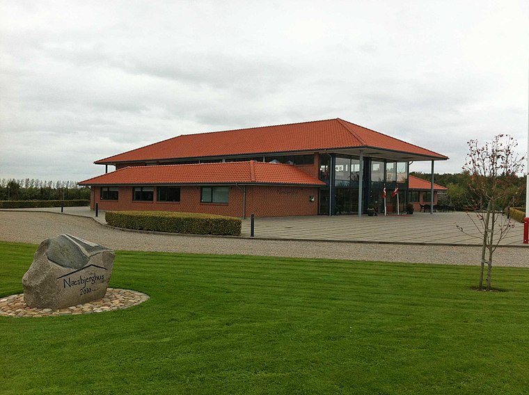
Photo: Beethoven9, CC BY-SA 4.0.
Næsbjerg is a village, which is situated 3 km southeast of Teltplads ved Karlsgårdeværket.
Varde

Photo: Taxiarchos228, FAL.
Varde is a town in West Jutland. The municipality is the largest coastal tourism municipality in Denmark and especially attracts tourists to the coastal destinations of Blåvand, Vejers Strand and Henne Strand.
Teltplads ved Karlsgårdeværket
- Type: Campsite
- Wheelchair access: no
- Categories: tourism and camping
- Location: Region of Southern Denmark, Denmark, Nordic countries, Europe
- View on OpenStreetMap
Latitude
55.6502° or 55° 39′ 1″ northLongitude
8.57115° or 8° 34′ 16″ eastOpen location code
9F7CMH2C+3FOpenStreetMap ID
node 9039478915OpenStreetMap feature
tourism=camp_siteOpenStreetMap attribute
wheelchair=no
This page is based on OpenStreetMap, Wikidata, and Wikimedia Commons.
We’d love your help improving our open data sources. Thank you for contributing.
Satellite Map
Discover Teltplads ved Karlsgårdeværket from above in high-definition satellite imagery.
Notable Places Nearby
Highlights include Den runde plads and Ribjærghøj.
Nearby Places
Explore places such as 150kV Karlsgårde and Trædestenen v. Sig Kapelbanke.
Denmark: Must-Visit Destinations
Delve into Copenhagen, Aarhus, Odense, and Aalborg.
Curious Campsites to Discover
Uncover intriguing campsites from every corner of the globe.
About Mapcarta. Data © OpenStreetMap contributors and available under the Open Database License". Text is available under the CC BY-SA 4.0 license, except for photos, directions, and the map. Photo: Wikimedia, CC BY-SA 3.0.