Nuskova - slatinski vrelec
Nuskova - slatinski vrelec is in Občina Rogašovci, Slovenia. Nuskova - slatinski vrelec is situated nearby to the spring Slatinski vrelec Nuskova, as well as near the fire station PGD Serdica.| Tap on a place to explore it |
Places of Interest Nearby
Highlights include St. George’s Parish Church in Sveti Jurij and Stadelberg.
St. George’s Parish Church in Sveti Jurij
Church

Photo: Zeitblick, CC BY-SA 3.0.
St. George’s Parish Church in Sveti Jurij is situated 1½ km southeast of Nuskova - slatinski vrelec.
Stadelberg
Peak

Photo: Clemens Stockner, CC BY-SA 3.0.
Stadelberg is a peak, which is situated 3 km north of Nuskova - slatinski vrelec.
Evangeličanska cerkev
Church

Photo: Sl-Ziga, Public domain.
Evangeličanska cerkev is a church, which is situated 3 km east of Nuskova - slatinski vrelec.
Places in the Area
Nearby places include Nuskova and Kramarovci.
Nuskova
Village

Photo: Sl-Ziga, Public domain.
Nuskova is a village in the Municipality of Rogašovci in the Prekmurje region of northeastern Slovenia. There is a small chapel in the settlement dedicated to the Holy Trinity. It was built in 1925 and has a small belfry.
Kramarovci
Hamlet

Photo: Wikimedia, Public domain.
Kramarovci is a small village in the Municipality of Rogašovci in the Prekmurje region of northeastern Slovenia, right on the border with Austria. There is a small chapel in the centre of the settlement.
Sveti Jurij
Village
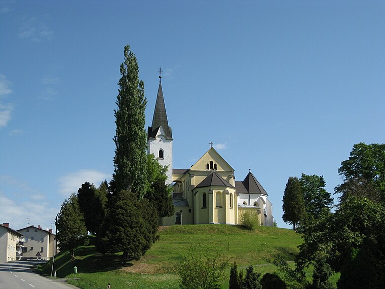
Photo: Sl-Ziga, Public domain.
Sveti Jurij is a village in the Municipality of Rogašovci in the Prekmurje region of northeastern Slovenia.
Nuskova - slatinski vrelec
- Type: Sign
- Categories: information and tourism
- Location: Občina Rogašovci, Slovenia, Central Europe, Europe
- View on OpenStreetMap
Latitude
46.81048° or 46° 48′ 38″ northLongitude
16.02513° or 16° 1′ 31″ eastOperator
Krajinski park GoričkoOpen location code
8FRRR26G+53OpenStreetMap ID
node 9046907197OpenStreetMap feature
tourism=information
This page is based on OpenStreetMap, Wikidata, and Wikimedia Commons.
We’d love your help improving our open data sources. Thank you for contributing.
Satellite Map
Discover Nuskova - slatinski vrelec from above in high-definition satellite imagery.
Notable Places Nearby
Highlights include Slatinski vrelec Nuskova and PGD Serdica.
Nearby Places
Explore places such as Veliki skovik ali čuk? and Hidrološka postaja Nuskova.
Slovenia: Must-Visit Destinations
Delve into Ljubljana, Maribor, Koper, and Celje.
Curious Places to Discover
Uncover intriguing places from every corner of the globe.
About Mapcarta. Data © OpenStreetMap contributors and available under the Open Database License". Text is available under the CC BY-SA 4.0 license, except for photos, directions, and the map. Photo: Jjtkk, CC BY 3.0.