Caffeino
Caffeino is a café in San Luis Río Colorado Municipality, Sonora which is located on Callejón 5 de Mayo y 7. Caffeino is situated nearby to Hospital Santa Margarita, as well as near the hospital Centro De Salud.| Tap on a place to explore it |
Places of Interest Nearby
Highlights include San Luis Río Colorado Airport and San Luis High School.
San Luis Río Colorado Airport
Aerodrome

Photo: Vmzp85, CC BY-SA 4.0.
San Luis Río Colorado Airport was an airport located in San Luis Río Colorado, Sonora in Mexico, near the U.S.-Mexico border. It served general aviation purposes, featuring a runway designated 13/31, with an asphalt surface measuring 1,504 by 30 metres. San Luis Río Colorado Airport is situated 3½ km southwest of Caffeino.
San Luis High School
School
San Luis High School is a high school in San Luis, Arizona, United States. It opened in 2002 and is part of the Yuma Union High School District. The school mascot is the sidewinder. San Luis High School is situated 3½ km northeast of Caffeino.
Places in the Area
Nearby places include San Luis Rio Colorado and San Luis.
San Luis Rio Colorado
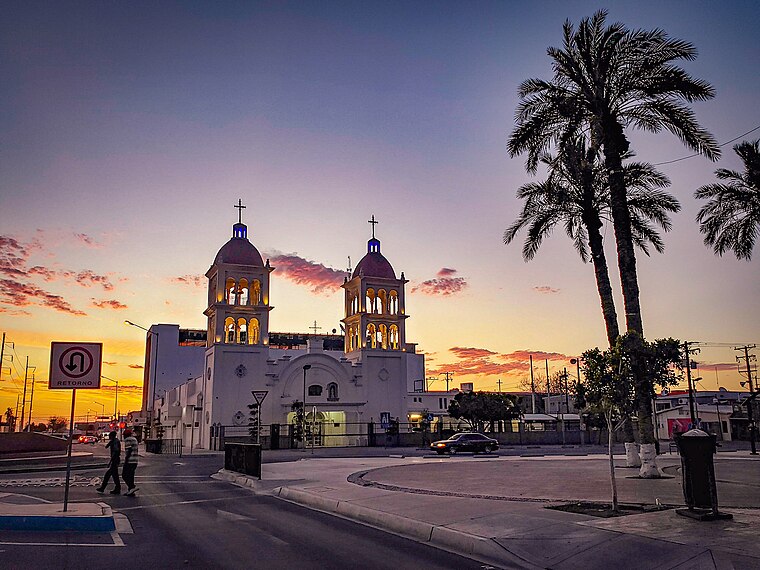
Photo: AyuntamientoSLRC, CC BY-SA 4.0.
San Luis Rio Colorado is a city of 177,000 people in the state of Sonora, Mexico. It's on the United States border, opposite San Luis, Arizona.
San Luis
San Luis is a town in Western Arizona. It is across the US-Mexico border from San Luis Rio Colorado, Sonora.Gadsden
Village
Gadsden is a census-designated place and colonia in Yuma County, Arizona, United States. The population was 953 at the 2000 census. It is part of the Yuma Metropolitan Statistical Area. Gadsden is situated 10 km north of Caffeino.
Caffeino
- Type: Café
- Address: Callejón 5 de Mayo y 7
- Location: San Luis Río Colorado Municipality, Sonora, Northern Mexico, Mexico, North America
- View on OpenStreetMap
Latitude
32.47218° or 32° 28′ 20″ northLongitude
-114.77838° or 114° 46′ 42″ westOpen location code
8547F6CC+VJOpenStreetMap ID
node 9068783984OpenStreetMap feature
amenity=cafe
This page is based on OpenStreetMap, Wikidata, and Wikimedia Commons.
We’d love your help improving our open data sources. Thank you for contributing.
Satellite Map
Discover Caffeino from above in high-definition satellite imagery.
Places with the Same Name
Discover other places named “Caffeino”.
Notable Places Nearby
Highlights include Hospital Santa Margarita and Centro De Salud.
Nearby Places
Explore places such as Farmacia Guadalajara and Farmacias del Ahorro.
Sonora: Must-Visit Destinations
Delve into Hermosillo, Ciudad Obregón, Guaymas, and Nogales.
Curious Cafés to Discover
Uncover intriguing cafés from every corner of the globe.
About Mapcarta. Data © OpenStreetMap contributors and available under the Open Database License". Text is available under the CC BY-SA 4.0 license, except for photos, directions, and the map. Photo: Inkey, CC BY-SA 2.5.