Pointe de l’Îlette
Pointe de l’Îlette is a cape in Antibes, Arrondissement of Grasse, Provence-Alpes-Côte d’Azur.| Tap on a place to explore it |
Places of Interest
Highlights include Musée Picasso and Juan-les-Pins station.
Musée Picasso
Museum

Photo: Olivier2000, CC BY-SA 1.0.
The Musée Picasso, formerly the Château Grimaldi at Antibes, is built upon the foundations of the ancient Greek town of Antipolis. Antibes is a resort town in the Alpes-Maritimes department in southeastern France, on the Mediterranean Sea.
Juan-les-Pins station
Railway station
 Juan-les-Pins station is a railway station serving the town of Juan-les-Pins, part of the commune of Antibes, in the Alpes-Maritimes department, southeastern France.
Château de la Croë
Castle

Photo: Aimelaime, Public domain.
The Château de la Croë is a large detached villa situated in eight hectares of grounds on the Cap d'Antibes peninsula of the French Riviera, in the Alpes-Maritimes department of Southern France.
Places in the Area
Nearby places include Cannes and Vallauris.
Cannes

Photo: Afernand74, CC BY 2.5.
Once a small fishing village on the French Riviera, Cannes is now a glamorous and expensive seaside town of 73,000 people considered to be one of the social hubs of Europe.
Vallauris
Town

Photo: Dacoucou, CC BY-SA 3.0.
Vallauris is a seaside commune in the Alpes-Maritimes department in the Provence-Alpes-Côte d'Azur region in Southeastern France. It is located in the metropolitan area of Antibes, bordering it on its west side.
Le Cannet
Town
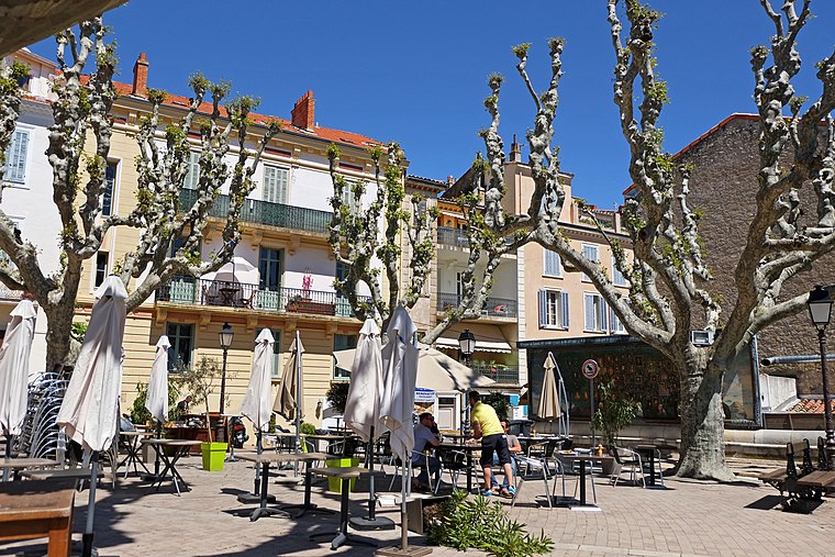
Photo: Jpchevreau, CC BY-SA 3.0.
Le Cannet is a commune of the Alpes-Maritimes department in southeastern France.
Pointe de l’Îlette
- Type: Cape
- Category: landform
- Location: Antibes, Arrondissement of Grasse, Alpes-Maritimes, Provence-Alpes-Côte d’Azur, France, Europe
- View on OpenStreetMap
Latitude
43.5431° or 43° 32′ 35″ northLongitude
7.1194° or 7° 7′ 10″ eastOpen location code
8FM9G4V9+6POpenStreetMap ID
node 9070558981OpenStreetMap feature
natural=cape
This page is based on OpenStreetMap, Wikidata, and Wikimedia Commons.
We’d love your help improving our open data sources. Thank you for contributing.
Satellite Map
Discover Pointe de l’Îlette from above in high-definition satellite imagery.
Places with the Same Name
Discover other places named “Pointe de l’Îlette”.
Localities in the Area
Explore places such as Cap d’Antibes and Juan-les-Pins.
Notable Places Nearby
Highlights include Phare de l’Ilette and Le Masque.
Alpes-Maritimes: Must-Visit Destinations
Delve into Nice, Cannes, Menton, and Grasse.
Curious Capes to Discover
Uncover intriguing capes from every corner of the globe.
About Mapcarta. Data © OpenStreetMap contributors and available under the Open Database License". Text is available under the CC BY-SA 4.0 license, except for photos, directions, and the map. Photo: David Baron, CC BY-SA 2.0.