Weißbriach Regitt
Weißbriach Regitt is a bus stop in Gitschtal, Hermagor District, Carinthia. Weißbriach Regitt is situated nearby to Reiterhof Golz, as well as near the sports venue Fussballplatz.| Tap on a place to explore it |
Places of Interest Nearby
Highlights include Hühnernock and Kreuzberg Saddle.
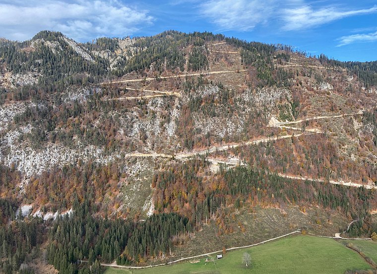
Hühnernock
Peak

Photo: Joadl, CC BY-SA 3.0 at.
Hühnernock is a peak, which is situated 2½ km north of Weißbriach Regitt.
Kreuzberg Saddle
Mountain saddle
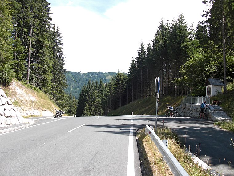
Photo: Ulflulfl, Public domain.
Kreuzberg Saddle is a high mountain pass across the Gailtal Alps in the Austrian state of Carinthia. The 1,074 m high pass is part of the B 87 Weißensee Straße highway connecting the market town of Greifenburg in the Drava valley with Gitschtal and the district capital Hermagor on the Gail river. Kreuzberg Saddle is situated 3½ km north of Weißbriach Regitt.
Places in the Area
Nearby places include Rattendorf and Watschig.
Rattendorf
Village

Photo: Codas, CC BY-SA 4.0.
Rattendorf is a village, which is situated 6 km south of Weißbriach Regitt.
Watschig
Village

Photo: Johann Jaritz, CC BY-SA 4.0.
Watschig is a village, which is situated 7 km southeast of Weißbriach Regitt.
Tröpolach
Village

Photo: Pnapora, CC BY-SA 4.0.
Tröpolach is a village, which is situated 7 km south of Weißbriach Regitt.
Weißbriach Regitt
- Type: Bus stop
- Categories: transport stop and transportation
- Location: Gitschtal, Hermagor District, Carinthia, Austria, Central Europe, Europe
- View on OpenStreetMap
Latitude
46.6771° or 46° 40′ 38″ northLongitude
13.26338° or 13° 15′ 48″ eastOpen location code
8FRMM7G7+R9OpenStreetMap ID
node 9087689398OpenStreetMap feature
highway=bus_stopOpenStreetMap feature
public_transport=stop_position
This page is based on OpenStreetMap, Wikidata, and Wikimedia Commons.
We’d love your help improving our open data sources. Thank you for contributing.
Satellite Map
Discover Weißbriach Regitt from above in high-definition satellite imagery.
Notable Places Nearby
Highlights include Reiterhof Golz and Fussballplatz.
Nearby Places
Explore places such as Weißbriach Regitt and Weißbriach Golz/Langwiesen.
Carinthia: Must-Visit Destinations
Delve into Klagenfurt, Villach, Wörthersee, and Spittal an der Drau.
Curious Bus Stops to Discover
Uncover intriguing bus stops from every corner of the globe.
About Mapcarta. Data © OpenStreetMap contributors and available under the Open Database License". Text is available under the CC BY-SA 4.0 license, except for photos, directions, and the map. Photo: Wikimedia, CC BY-SA 3.0.