Вказівники
Вказівники is in Ivano-Frankivsk Oblast, Ukraine. Вказівники is situated nearby to the spring Струмок, as well as near the ruins Руїни притулку.| Tap on a place to explore it |
Places of Interest Nearby
Highlights include Grofa and Kin Grofetskyi.
Grofa
Peak

Photo: Meteor2017, CC BY 2.5.
Grofa is a peak, which is situated 3 km southeast of Вказівники.
Kin Grofetskyi
Peak

Photo: Slabinoha, CC BY-SA 4.0.
Kin Grofetskyi is a peak, which is situated 2½ km southeast of Вказівники.
Yaiko-Perehinske
Peak
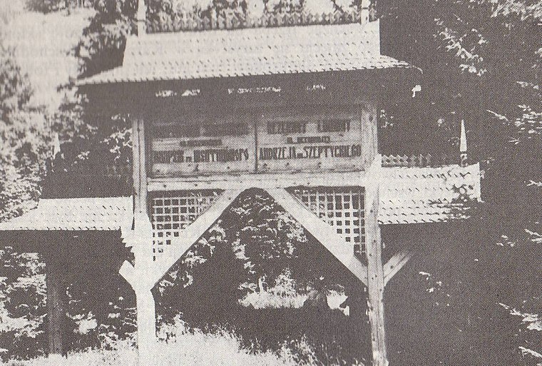
Photo: Wikimedia, Public domain.
Yaiko-Perehinske is a peak, which is situated 3 km northwest of Вказівники.
Places in the Area
Nearby places include Osmoloda.
Osmoloda
Village

Photo: EugeneB, CC BY-SA 3.0.
Osmoloda is a village in the Perehinske settlement hromada of the Kalush Raion of Ivano-Frankivsk Oblast in Ukraine. Osmoloda is situated 8 km east of Вказівники.
Вказівники
- Type: Sign
- Categories: information and tourism
- Location: Ivano-Frankivsk Oblast, Ukraine, Eastern Europe, Europe
- View on OpenStreetMap
Latitude
48.64422° or 48° 38′ 39″ northLongitude
23.91692° or 23° 55′ 1″ eastOpen location code
8GW5JWV8+MQOpenStreetMap ID
node 9105933208OpenStreetMap feature
tourism=information
This page is based on OpenStreetMap, Wikidata, and Wikimedia Commons.
We’d love your help improving our open data sources. Thank you for contributing.
Satellite Map
Discover Вказівники from above in high-definition satellite imagery.
In Other Languages
“Вказівники” goes by many names.
- Ukrainian: “Вказівники”
Notable Places Nearby
Highlights include Струмок and Руїни притулку.
Nearby Places
Explore places such as Лісництво Мшана and Хата під Конем.
Curious Places to Discover
Uncover intriguing places from every corner of the globe.
About Mapcarta. Data © OpenStreetMap contributors and available under the Open Database License". Text is available under the CC BY-SA 4.0 license, except for photos, directions, and the map. Photo: Robert-Erik, CC BY-SA 4.0.