Pod vechi de fier (înc.sec. XX)
Pod vechi de fier (înc.sec. XX) is in Floreşti, Moldova. Pod vechi de fier (înc.sec. XX) is situated nearby to the church Biserica Florești, as well as near the village Vărvăreuca.| Tap on a place to explore it |
Places in the Area
Nearby places include Florești and Vărvăreuca.
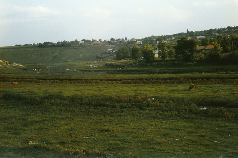
Florești
Town

Photo: Avereanu, CC BY-SA 3.0.
Florești is the capital city and industrial and commercial center of Floreşti District of Moldova. It is located on the river Răut.
Mărculești
Town

Photo: Avereanu, CC BY-SA 3.0.
Mărculești is a city in Florești District, in northern Moldova, with a population of 2,081 at the 2004 census. The city was once the site of a Jewish agricultural and mercantile colony until its destruction in the Holocaust. Mărculești is situated 3 km west of Pod vechi de fier (înc.sec. XX).
Pod vechi de fier (înc.sec. XX)
- Type: Tourist attraction
- Category: tourism
- Location: Floreşti, Moldova, Balkans, Europe
- View on OpenStreetMap
Latitude
47.87801° or 47° 52′ 41″ northLongitude
28.28014° or 28° 16′ 49″ eastOpen location code
8GVCV7HJ+63OpenStreetMap ID
node 9109001974OpenStreetMap feature
tourism=attraction
This page is based on OpenStreetMap, Wikidata, and Wikimedia Commons.
We’d love your help improving our open data sources. Thank you for contributing.
Satellite Map
Discover Pod vechi de fier (înc.sec. XX) from above in high-definition satellite imagery.
Notable Places Nearby
Highlights include Biserica Florești and Cimitir.
Nearby Places
Explore places such as Baza Transportului Auto #14 and Asat Nord.
Moldova: Must-Visit Destinations
Delve into Transnistria, Chișinău, Tiraspol, and Bălţi.
Curious Places to Discover
Uncover intriguing places from every corner of the globe.
About Mapcarta. Data © OpenStreetMap contributors and available under the Open Database License". Text is available under the CC BY-SA 4.0 license, except for photos, directions, and the map. Photo: USAID Digital Development, CC BY 2.0.