Nordisk-Handelshus
Nordisk-Handelshus is an outdoor equipment store in Frederikssund Municipality, Capital Region. Nordisk-Handelshus is situated nearby to the prison Frederikssund Arrest - Institution Frederiksborg, as well as near the town hall Frederikssund Rådhus.| Tap on a place to explore it |
Places of Interest Nearby
Highlights include Frederikssund railway station and Sillebroen.
Frederikssund railway station
Railway station
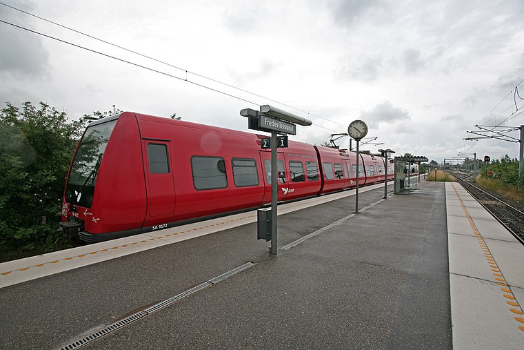
Photo: Wikimedia, CC BY-SA 3.0.
Frederikssund station is an S-train railway station serving the city of Frederikssund in North Zealand, Denmark. It is located in central Frederikssund on the southern edge of the historic city centre, and immediately adjacent to the Frederikssund bus station. Frederikssund railway station is situated 580 metres southeast of Nordisk-Handelshus.
Sillebroen
Shopping center

Photo: Hdalgaard, CC BY-SA 3.0.
Sillebroen is a shopping center, which is situated 450 metres south of Nordisk-Handelshus.
Frederikssund Church
Church

Photo: Hubertus, CC BY-SA 2.5.
Frederikssund Church is situated 480 metres east of Nordisk-Handelshus.
Places in the Area
Nearby places include Frederikssund and Ørnestensbjerget.
Frederikssund
 Frederikssund is a Danish town, seat of the Frederikssund Municipality, in the Region Hovedstaden with a population of 17,583. It received the status of market town in 1810.

Græse Bakkeby
Village

Photo: Wikimedia, CC BY-SA 4.0.
Græse Bakkeby is a satellite town of Frederikssund in North Zealand. It is located 3 km north of Frederikssund, in the Capital Region of Denmark. Græse Bakkeby is situated 2½ km north of Nordisk-Handelshus.
Nordisk-Handelshus
- Type: Outdoor equipment store
- Category: shop
- Location: Frederikssund Municipality, Capital Region, Denmark, Nordic countries, Europe
- View on OpenStreetMap
Latitude
55.83957° or 55° 50′ 23″ northLongitude
12.06172° or 12° 3′ 42″ eastOpen location code
9F7JR3Q6+RMOpenStreetMap ID
node 9159414858OpenStreetMap feature
shop=outdoor
This page is based on OpenStreetMap, Wikidata, and Wikimedia Commons.
We’d love your help improving our open data sources. Thank you for contributing.
Satellite Map
Discover Nordisk-Handelshus from above in high-definition satellite imagery.
Notable Places Nearby
Highlights include Frederikssund Arrest - Institution Frederiksborg and Frederikssund Rådhus.
Nearby Places
Explore places such as Jyske Bank and Relieffer Frederikssund torv.
Denmark: Must-Visit Destinations
Delve into Copenhagen, Aarhus, Odense, and Aalborg.
Curious Outdoor Equipment Stores to Discover
Uncover intriguing outdoor equipment stores from every corner of the globe.
About Mapcarta. Data © OpenStreetMap contributors and available under the Open Database License". Text is available under the CC BY-SA 4.0 license, except for photos, directions, and the map. Photo: Wikimedia, CC BY-SA 3.0.