Gabú Black
Gabú Black is a clothing store in Hospital, San José. Gabú Black is situated nearby to the marketplace Mercado Oriental, as well as near the bus station Tuasa aeropuerto.| Tap on a place to explore it |
Places of Interest Nearby
Highlights include Iglesia de La Merced and Melico Salazar Theatre.
Iglesia de La Merced
Church

Photo: Wikimedia, CC BY-SA 2.0.
Iglesia de La Merced is a church, which is situated 180 metres south of Gabú Black.
Melico Salazar Theatre
Theater building

Photo: Wikimedia, CC BY-SA 3.0.
The Melico Salazar Theatre is located in San José, Costa Rica. It maintains a full schedule of concerts, recitals, and plays. While large and built in the European Baroque style, it is far simpler than the Parisian influenced National Theatre one block east. Melico Salazar Theatre is situated 460 metres east of Gabú Black.
Hospital San Juan de Dios
Hospital
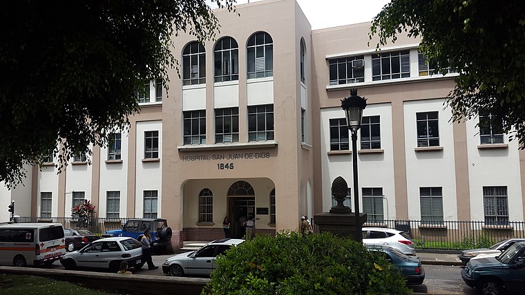
Photo: Rodtico21, CC BY-SA 4.0.
Hospital San Juan de Dios is situated 350 metres southwest of Gabú Black.
Places in the Area
Nearby places include Merced and Catedral.
Merced
Village
Merced is a district of the San José canton, in the San José province of Costa Rica. It is one of the four administrative units that form San José downtown properly.
Catedral
Village
Catedral is a district of the San José canton, in the San José province of Costa Rica, it is one of the four administrative units that form San José downtown properly.
Carmen
Village
Carmen is the first distrito of San José Canton in Costa Rica, and one of the four administrative units that form San José downtown. This district is not heavily populated although it is a busy downtown area in daytime.
Gabú Black
- Type: Clothing store
- Category: shop
- Location: Hospital, San José, San José Province, Central Valley, Costa Rica, Central America, North America
- View on OpenStreetMap
Latitude
9.9349° or 9° 56′ 6″ northLongitude
-84.08338° or 84° 5′ 0″ westOperator
GabúOpen location code
66XQWWM8+XJOpenStreetMap ID
node 9166051810OpenStreetMap feature
shop=clothes
This page is based on OpenStreetMap, Wikidata, and Wikimedia Commons.
We’d love your help improving our open data sources. Thank you for contributing.
Satellite Map
Discover Gabú Black from above in high-definition satellite imagery.
Notable Places Nearby
Highlights include Mercado Oriental and Tuasa aeropuerto.
Nearby Places
Explore places such as Variedades Won and Variedades Judith.
Central Valley: Must-Visit Destinations
Delve into Alajuela, Heredia, Turrialba, and San Ramon.
Curious Clothing Stores to Discover
Uncover intriguing clothing stores from every corner of the globe.
About Mapcarta. Data © OpenStreetMap contributors and available under the Open Database License". Text is available under the CC BY-SA 4.0 license, except for photos, directions, and the map. Photo: Wikimedia, CC0.