Vogelkunde
Vogelkunde is in Bockhorn, Friesland, Lower Saxony. Vogelkunde is situated nearby to Bockhorner Watt, as well as near the river Ellenserdammer Tief.| Tap on a place to explore it |
Places of Interest Nearby
Highlights include Schöpfwerk Petershörn and Der Koyer.
Schöpfwerk Petershörn
Pumping station

Photo: Martina Nolte, CC BY-SA 3.0 de.
Schöpfwerk Petershörn is a pumping station, which is situated 2 km southeast of Vogelkunde.
Der Koyer
Work of art

Photo: Gerd Fahrenhorst, CC BY 4.0.
Der Koyer is a work of art, which is situated 4 km northwest of Vogelkunde.
Places in the Area
Nearby places include Dangast and Moorhausen.
Dangast
Suburb

Photo: Wikimedia, Public domain.
Dangast is a suburb, which is situated 3 km east of Vogelkunde.
Moorhausen
Neighborhood
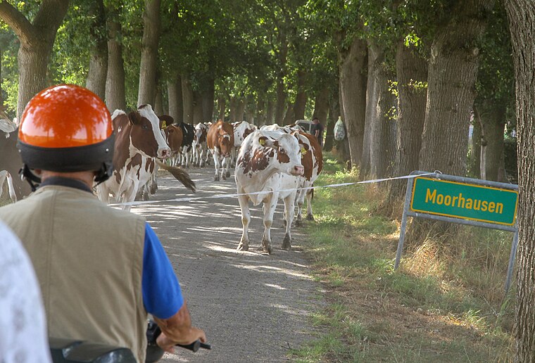
Photo: Berliner Kartenspieler, CC BY-SA 4.0.
Moorhausen is a neighborhood, which is situated 4½ km southeast of Vogelkunde.
Mariensiel
Village

Photo: Martina Nolte, CC BY-SA 3.0 de.
Mariensiel is a village, which is situated 7 km north of Vogelkunde.
Vogelkunde
- Type: Sign
- Categories: information and tourism
- Location: Bockhorn, Friesland, Lower Saxony, Germany, Central Europe, Europe
- View on OpenStreetMap
Latitude
53.45008° or 53° 27′ 0″ northLongitude
8.07688° or 8° 4′ 37″ eastOpen location code
9F5CF32G+2QOpenStreetMap ID
node 9167649859OpenStreetMap feature
tourism=information
This page is based on OpenStreetMap, Wikidata, and Wikimedia Commons.
We’d love your help improving our open data sources. Thank you for contributing.
Satellite Map
Discover Vogelkunde from above in high-definition satellite imagery.
Places with the Same Name
Discover other places named “Vogelkunde”.
Notable Places Nearby
Highlights include Bockhorner Watt and Ellenserdammer Tief.
Nearby Places
Explore places such as Deichbau and Skulptur 5.
Lower Saxony: Must-Visit Destinations
Delve into Hanover, Göttingen, Brunswick, and Wolfsburg.
Curious Places to Discover
Uncover intriguing places from every corner of the globe.
About Mapcarta. Data © OpenStreetMap contributors and available under the Open Database License". Text is available under the CC BY-SA 4.0 license, except for photos, directions, and the map. Photo: Danapit, CC BY-SA 3.0.