Mooshau
Mooshau is a locality in Baden-Württemberg, Germany. Mooshau is situated nearby to the locality Brenntenhau, as well as near Schnepfentäle.| Tap on a place to explore it |
Places of Interest
Highlights include Bartholomä-Amalienhof airfield and Wental mit Seitentälern und Feldinsel Klösterle.
Bartholomä-Amalienhof airfield
Aerodrome

Photo: Carsten Steger, CC BY-SA 4.0.
Bartholomä-Amalienhof airfield is an aerodrome, which is situated 2½ km west of Mooshau.
Wental mit Seitentälern und Feldinsel Klösterle
Nature reserve

Photo: Wikimedia, CC BY-SA 2.5.
Wental mit Seitentälern und Feldinsel Klösterle is a nature reserve, which is situated 3 km south of Mooshau.
Großes Wollenloch
Cave

Photo: Wikimedia, Public domain.
Großes Wollenloch is a cave, which is situated 3 km northeast of Mooshau.
Places in the Area
Nearby places include Bartholomä and Königsbronn.
Bartholomä
Village
 Bartholomä is a municipality in the German state of Baden-Württemberg, in Ostalbkreis district. Bartholomä is mainly a commuter town in the historical region of Swabia, that straddles the border between Baden-Württemberg and Bavaria. Bartholomä is situated 4 km west of Mooshau.
Königsbronn
Village

Photo: Ssch, CC BY-SA 3.0.
Königsbronn is a municipality in the district of Heidenheim in Baden-Württemberg in southern Germany. Königsbronn as an administrative community also includes the villages of Itzelberg, Ochsenberg and Zang. Königsbronn is situated 5 km east of Mooshau.
Lauterburg
Village
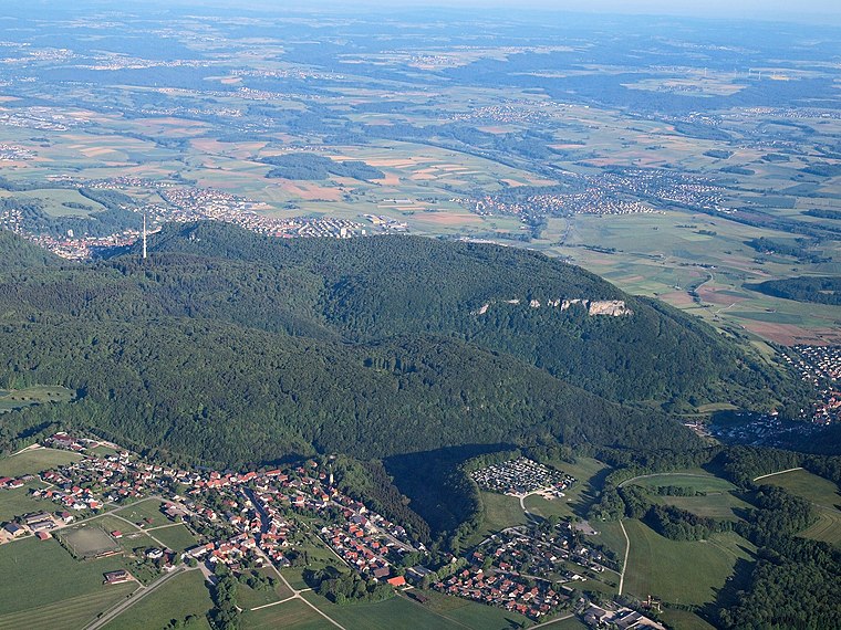
Photo: Kreuzschnabel, CC BY-SA 3.0.
Lauterburg is a village, which is situated 6 km northwest of Mooshau.
Mooshau
- Type: Locality
- Location: Baden-Württemberg, Germany, Central Europe, Europe
- View on OpenStreetMap
Latitude
48.74904° or 48° 44′ 57″ northLongitude
10.04058° or 10° 2′ 26″ eastOpen location code
8FWGP2XR+J6OpenStreetMap ID
node 919011150OpenStreetMap feature
place=locality
This page is based on OpenStreetMap, Wikidata, and Wikimedia Commons.
We’d love your help improving our open data sources. Thank you for contributing.
Satellite Map
Discover Mooshau from above in high-definition satellite imagery.
Places with the Same Name
Discover other places named “Mooshau”.
Localities in the Area
Explore places such as Mooshau and Brenntenhau.
Notable Places Nearby
Highlights include Ehemalige Burg Irrmannsweiler and Felsenmeer.
Baden-Württemberg: Must-Visit Destinations
Delve into Stuttgart, Heidelberg, Karlsruhe, and Mannheim.
Curious Localities to Discover
Uncover intriguing localities from every corner of the globe.
About Mapcarta. Data © OpenStreetMap contributors and available under the Open Database License". Text is available under the CC BY-SA 4.0 license, except for photos, directions, and the map. Photo: Traveler100, CC BY-SA 3.0.