PWC Kantine
PWC Kantine is a café in Herning Municipality, Central Jutland. Access is restricted and requires permission. PWC Kantine is situated nearby to the bowling alley Herning Bowlinghal, as well as near the cemetery Herning Vestre Kirkegård.| Tap on a place to explore it |
Places of Interest Nearby
Highlights include Jyske Bank Boxen and Tekstilmuseet.
Jyske Bank Boxen
Stadium

Photo: Lis í Jákupsstovu, CC BY 2.0.
Jyske Bank Boxen is an indoor arena, located in Herning, Denmark, that is part of the Messecenter Herning. Opened in October 2010, it has a maximum capacity of 15,000. Jyske Bank Boxen is situated 2 km south of PWC Kantine.
Tekstilmuseet
Museum

Photo: Majatheodoraki, CC BY-SA 3.0.
Tekstilmuseet is a museum, which is situated 1 km east of PWC Kantine.
St. John’s Church
Church
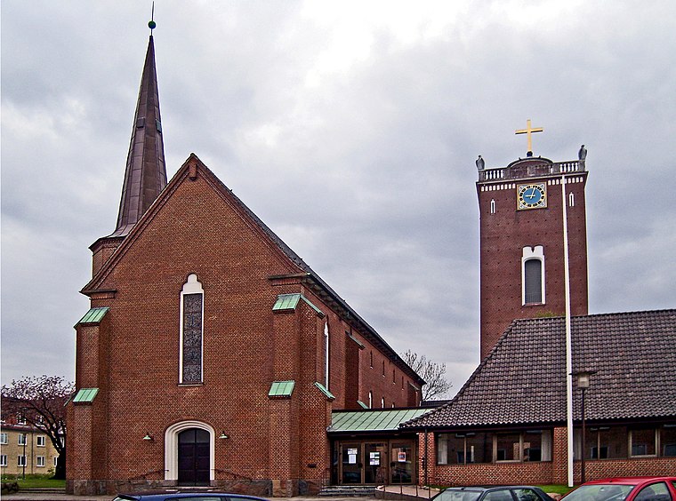
Photo: Bococo, CC BY-SA 3.0.
St. John’s Church is situated 1 km northeast of PWC Kantine.
Places in the Area
Nearby places include Herning and Studsgård.
Herning
 Herning is a city in the middle of Jutland. Herning's main claim to fame are sports teams based here and numerous high profile international sport events that have been hosted here. It is also home to Scandinava's largest trade fair centre.
Studsgård
Village

Photo: Dannebrog Spy, CC BY-SA 4.0.
Studsgård is a small railway town in Herning Municipality in central Jutland, Denmark. It is located 8 kilometres southwest of Herning. As of 1 January 2025, Studsgård has a population of 440. Studsgård is situated 5 km southwest of PWC Kantine.
Gjellerup
Village

Photo: Ch1ptune, CC BY-SA 2.5.
Gjellerup is a village, which is situated 6 km east of PWC Kantine.
PWC Kantine
- Access is restricted and requires permission.
- Type: Café
- Location: Herning Municipality, Central Jutland, Denmark, Nordic countries, Europe
- View on OpenStreetMap
Latitude
56.1342° or 56° 8′ 3″ northLongitude
8.94789° or 8° 56′ 52″ eastOpen location code
9F8C4WMX+M5OpenStreetMap ID
node 9207396319OpenStreetMap feature
amenity=cafe
This page is based on OpenStreetMap, Wikidata, and Wikimedia Commons.
We’d love your help improving our open data sources. Thank you for contributing.
Satellite Map
Discover PWC Kantine from above in high-definition satellite imagery.
Notable Places Nearby
Highlights include Herning Bowlinghal and Herning Vestre Kirkegård.
Nearby Places
Explore places such as PwC and Midtjydsk Elektro A/S.
Denmark: Must-Visit Destinations
Delve into Copenhagen, Aarhus, Odense, and Aalborg.
Curious Cafés to Discover
Uncover intriguing cafés from every corner of the globe.
About Mapcarta. Data © OpenStreetMap contributors and available under the Open Database License". Text is available under the CC BY-SA 4.0 license, except for photos, directions, and the map. Photo: Wikimedia, CC BY-SA 3.0.