Walterhau
Walterhau is a locality in Essingen, Ostalbkreis, Baden-Württemberg. Walterhau is situated nearby to the locality Erichhau, as well as near Heide.| Tap on a place to explore it |
Places of Interest
Highlights include Bartholomä-Amalienhof airfield and Ruine Lauterburg.
Bartholomä-Amalienhof airfield
Aerodrome

Photo: Carsten Steger, CC BY-SA 4.0.
Bartholomä-Amalienhof airfield is an aerodrome.
Ruine Lauterburg
Castle

Photo: Geak, Copyrighted free use.
Ruine Lauterburg is a castle, which is situated 3½ km northwest of Walterhau.
Remsursprung
Spring

Photo: Freak-Line-Community, CC BY-SA 3.0.
Remsursprung is a spring, which is situated 4 km north of Walterhau.
Places in the Area
Nearby places include Bartholomä and Lauterburg.
Bartholomä
Village
 Bartholomä is a municipality in the German state of Baden-Württemberg, in Ostalbkreis district. Bartholomä is mainly a commuter town in the historical region of Swabia, that straddles the border between Baden-Württemberg and Bavaria.
Lauterburg
Village
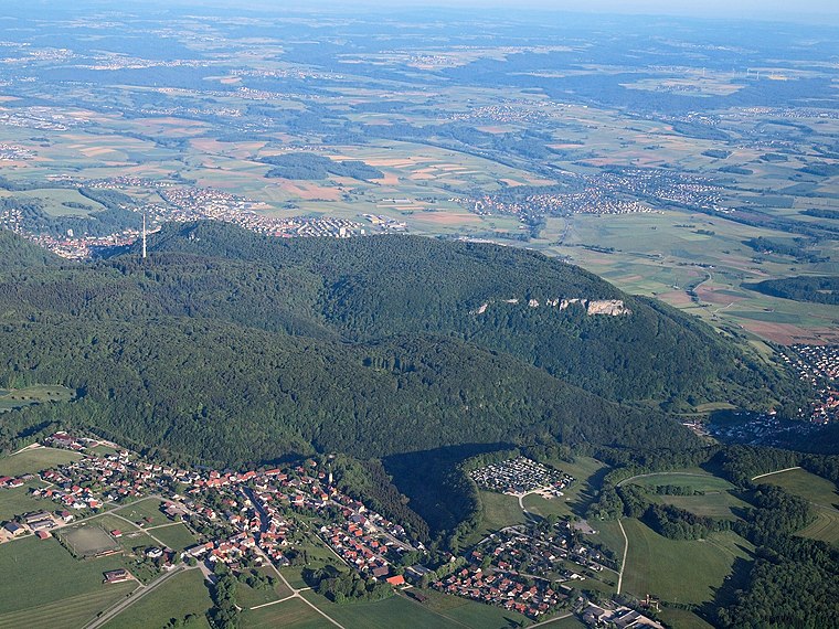
Photo: Kreuzschnabel, CC BY-SA 3.0.
Lauterburg is a village, which is situated 3½ km northwest of Walterhau.
Lautern
Village

Photo: Vexillum, CC BY-SA 3.0.
Lautern is a village, which is situated 5 km northwest of Walterhau.
Walterhau
- Type: Locality
- Location: Essingen, Ostalbkreis, Stuttgart, Baden-Württemberg, Germany, Central Europe, Europe
- View on OpenStreetMap
Latitude
48.75986° or 48° 45′ 36″ northLongitude
10.0126° or 10° 0′ 45″ eastOpen location code
8FWGQ257+W2OpenStreetMap ID
node 922916849OpenStreetMap feature
place=locality
This page is based on OpenStreetMap, Wikidata, and Wikimedia Commons.
We’d love your help improving our open data sources. Thank you for contributing.
Satellite Map
Discover Walterhau from above in high-definition satellite imagery.
Localities in the Area
Explore places such as Erichhau and Heide.
Notable Places Nearby
Highlights include Ehemalige Burg Irrmannsweiler and Mountainbike Anlage Bartholomä.
Baden-Württemberg: Must-Visit Destinations
Delve into Stuttgart, Heidelberg, Karlsruhe, and Mannheim.
Curious Localities to Discover
Uncover intriguing localities from every corner of the globe.
About Mapcarta. Data © OpenStreetMap contributors and available under the Open Database License". Text is available under the CC BY-SA 4.0 license, except for photos, directions, and the map. Photo: Traveler100, CC BY-SA 3.0.