Les Quibières
Les Quibières is a bus stop in Veyrier, Geneva. Les Quibières is situated nearby to the hamlet Sierne, as well as near the forest Bois-Carré.| Tap on a place to explore it |
Places of Interest Nearby
Highlights include Jewish cemetery of Veyrier and Church of Saint-Maurice, Veyrier.
Jewish cemetery of Veyrier
Cemetery
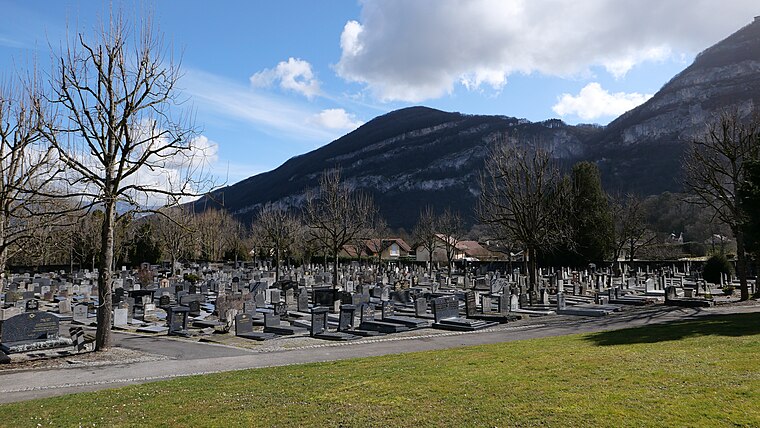
Photo: RomanDeckert, CC BY-SA 4.0.
Jewish cemetery of Veyrier is situated 670 metres southeast of Les Quibières.
Church of Saint-Maurice, Veyrier
Church

Photo: Franck.schneider, CC BY-SA 3.0.
Church of Saint-Maurice, Veyrier is situated 780 metres southeast of Les Quibières.
Former Pumping Plant Vessy
Public building

Photo: Wikimedia, Public domain.
Former Pumping Plant Vessy is a public building, which is situated 1 km northwest of Les Quibières.
Places in the Area
Nearby places include Sierne and Conches.


Thônex
Town

Photo: mpd01605, CC BY-SA 2.0.
Thônex is a municipality of the Canton of Geneva, Switzerland. It is situated in the east of the canton and shares a border with the French town of Ambilly.
Les Quibières
- Type: Bus stop
- Category: transportation
- Location: Veyrier, Geneva, Canton of Geneva, Switzerland, Central Europe, Europe
- View on OpenStreetMap
Latitude
46.17326° or 46° 10′ 24″ northLongitude
6.18219° or 6° 10′ 56″ eastElevation
416 metres (1,365 feet)Operator
TPGOpen location code
8FR855FJ+8VOpenStreetMap ID
node 923984832OpenStreetMap feature
highway=bus_stop
This page is based on OpenStreetMap, Wikidata, and Wikimedia Commons.
We’d love your help improving our open data sources. Thank you for contributing.
Satellite Map
Discover Les Quibières from above in high-definition satellite imagery.
Notable Places Nearby
Highlights include Bois de Vernaz and Bois-Carré.
Nearby Places
Explore places such as Les Quibières and Veyrier, Les Quibières.
Switzerland: Must-Visit Destinations
Delve into Zurich, Berne, Geneva, and Basel.
Curious Bus Stops to Discover
Uncover intriguing bus stops from every corner of the globe.
About Mapcarta. Data © OpenStreetMap contributors and available under the Open Database License". Text is available under the CC BY-SA 4.0 license, except for photos, directions, and the map. Photo: Markus Bernet, CC BY-SA 2.5.