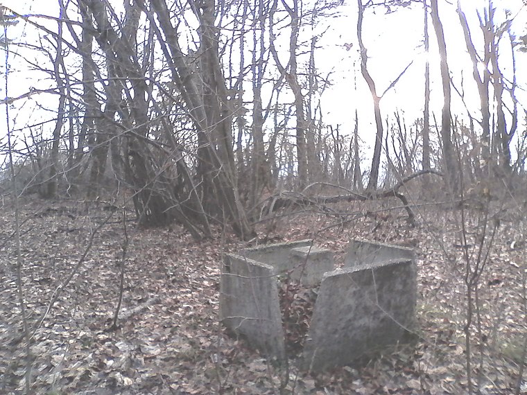
Nagyszénási Cave
Nagyszénási Cave is a cave in Pest County, Central Hungary. Nagyszénási Cave is situated nearby to the peak Kutya-széna, as well as near the cliff Fülkés-kő.| Tap on a place to explore it |
Photo: Szenti Tamás, CC BY-SA 4.0.
- Type: Cave
- Description: cave in Hungary
- Also known as: “Nagyszénási-sziklaüreg”
Places of Interest Nearby
Highlights include Nagy-Szénás and Lake Jági, Pilisszentiván.


Places in the Area
Nearby places include Nagykovácsi and Pilisvörösvár.
Nagykovácsi
Village

Photo: Cacattila, Public domain.
Nagykovácsi is a small town located in Budakeszi District, in the western part of Pest county, central Hungary. It is situated some 15 km north-west of the centre of Budapest, in a valley.
Pilisvörösvár

Photo: Solymári, CC BY-SA 4.0.
Pilisvörösvár is a town in the Danube Bend region. 18 km north-west of Budapest. There are over 12,000 residents. Solymár is a village next toward southwest one settlement with Pilisvörösvár. The population of this village over 9,000 people.
Solymár
Village

Photo: Wikimedia, CC BY 2.5 hu.
Solymár is a village in northwest of Budapest metropolitan area, bordering the 3rd and 2nd districts of the city, as well as Nagykovácsi, Pilisszentiván, Pilisvörösvár, Csobánka, Pilisborosjenő, and Üröm. Solymár is situated 4½ km east of Nagyszénási Cave.
Nagyszénási Cave
- Category: landform
- Location: Pest County, Central Hungary, Hungary, Central Europe, Europe
- View on OpenStreetMap
Latitude
47.59418° or 47° 35′ 39″ northLongitude
18.87096° or 18° 52′ 16″ eastHeight
4 metres (13 feet)Open location code
8FVWHVVC+M9OpenStreetMap ID
node 9260603751OpenStreetMap feature
natural=cave_entranceWikidata ID
Q52084435
This page is based on OpenStreetMap, Wikidata, and Wikimedia Commons.
We’d love your help improving our open data sources. Thank you for contributing.
Satellite Map
Discover Nagyszénási Cave from above in high-definition satellite imagery.
In Other Languages
“Nagyszénási Cave” goes by many names.
- Hungarian: “Nagyszénási-barlang”
Notable Places Nearby
Highlights include Kutya-széna and Fülkés-kő.
Nearby Places
Explore places such as Hosszú-árok-erdő and Nagy-Szénás.
Pest County: Must-Visit Destinations
Delve into Érd, Cegléd, Gödöllő, and Budaörs.
Curious Caves to Discover
Uncover intriguing caves from every corner of the globe.
About Mapcarta. Data © OpenStreetMap contributors and available under the Open Database License". Text is available under the CC BY-SA 4.0 license, except for photos, directions, and the map. Photo: Szenti Tamás, CC BY-SA 4.0.