Pia Heinrich
Pia Heinrich is an office in Chemnitz, Saxon Ore Mountains, Saxony. Pia Heinrich is situated nearby to the shopping center ACC - Alt Chemnitz Center, as well as near the power station Altchemnitz heating plant.| Tap on a place to explore it |
Places of Interest Nearby
Highlights include Altchemnitz heating plant and Radrennbahn Chemnitz.
Altchemnitz heating plant
Power station
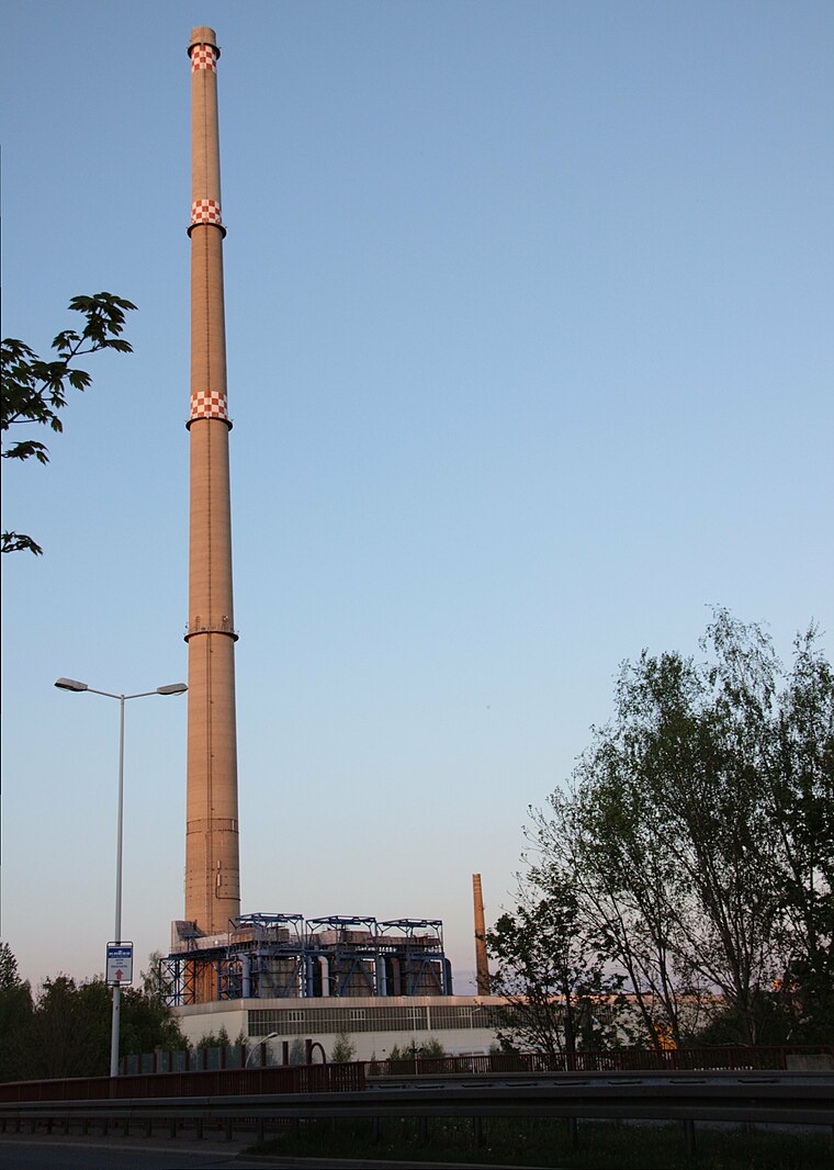
Photo: Miebner, CC BY-SA 3.0.
Altchemnitz heating plant is a power station, which is situated 340 metres north of Pia Heinrich.
Radrennbahn Chemnitz
Stadium

Photo: Lord van Tasm, CC BY-SA 3.0.
Radrennbahn Chemnitz is a stadium, which is situated 1¼ km northeast of Pia Heinrich.
Sportforum Chemnitz
Sports venue

Photo: Kolossos, CC BY-SA 3.0.
Sportforum Chemnitz is a multi-purpose stadium, in Chemnitz, Germany. The capacity of the stadium is 18,500 spectators. It was used as the stadium of Chemnitzer BC and later for home matches of FC Karl-Marx-Stadt. Sportforum Chemnitz is situated 1½ km northeast of Pia Heinrich.
Places in the Area
Nearby places include Klaffenbach and Neukirchen.
Klaffenbach
Suburb

Photo: SandroC, CC BY-SA 3.0.
Klaffenbach is a suburb, which is situated 3½ km south of Pia Heinrich.
Neukirchen
Village

Photo: Bluelkw, CC BY-SA 3.0.
Neukirchen is a municipality in the district Erzgebirgskreis, in Saxony, Germany. Neukirchen is situated 4 km southwest of Pia Heinrich.
Einsiedel
Suburb

Photo: Hagen Graebner, CC BY-SA 3.0.
Einsiedel is a suburb, which is situated 5 km southeast of Pia Heinrich.
Pia Heinrich
- Type: Office
- Address: B310
- Location: Chemnitz, Saxon Ore Mountains, Saxony, Germany, Central Europe, Europe
- View on OpenStreetMap
Latitude
50.79564° or 50° 47′ 44″ northLongitude
12.91814° or 12° 55′ 5″ eastOpen location code
9F2JQWW9+77OpenStreetMap ID
node 9270752131OpenStreetMap feature
office=yes
This page is based on OpenStreetMap, Wikidata, and Wikimedia Commons.
We’d love your help improving our open data sources. Thank you for contributing.
Satellite Map
Discover Pia Heinrich from above in high-definition satellite imagery.
Notable Places Nearby
Highlights include ACC - Alt Chemnitz Center and Alt Chemnitz Center.
Nearby Places
Explore places such as HHP Promotion and IT-Service Leifer.
Saxon Ore Mountains: Must-Visit Destinations
Delve into Zwickau, Freiberg, Oberwiesenthal, and Aue.
Curious Offices to Discover
Uncover intriguing offices from every corner of the globe.
About Mapcarta. Data © OpenStreetMap contributors and available under the Open Database License". Text is available under the CC BY-SA 4.0 license, except for photos, directions, and the map. Photo: Wikimedia, CC0.