Baldener Forst
Baldener Forst is a locality in Baden-Württemberg, Germany. Baldener Forst is situated nearby to the locality Eulenloch, as well as near Großer Gebsattel.| Tap on a place to explore it |
Places of Interest
Highlights include Baldern Castle and St. Gangolf.

St. Gangolf
Church

Photo: THE SWAEG, CC BY-SA 4.0.
St. Gangolf is a church, which is situated 3 km south of Baldener Forst.
Gromberg
Castle
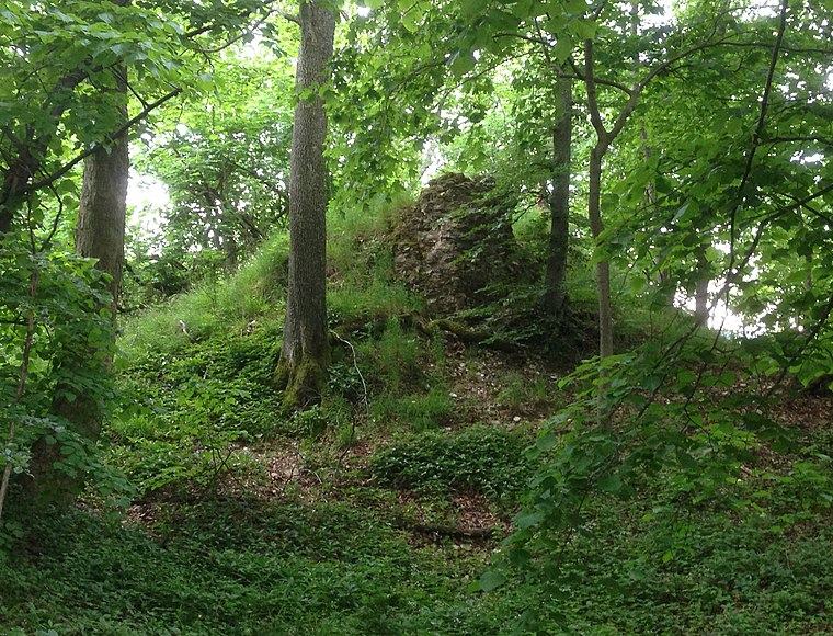
Photo: Geak, Copyrighted free use.
Gromberg is a castle, which is situated 3½ km southwest of Baldener Forst.
Places in the Area
Nearby places include Lauchheim and Röhlingen.
Lauchheim
Town
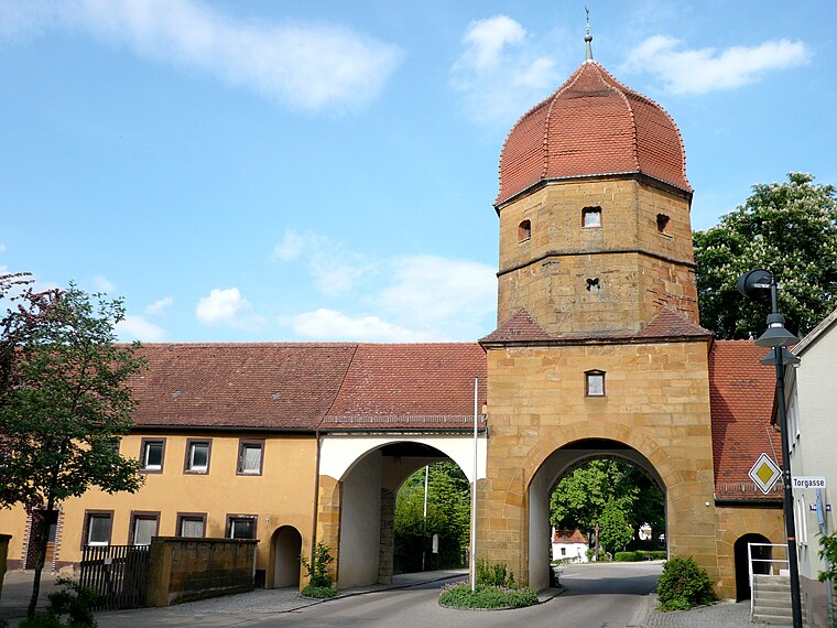
Photo: Ramessos, Public domain.
Lauchheim is a town and municipality with approximately 4800 inhabitants in the Ostalbkreis district, in the Stuttgart region of Baden-Württemberg, Germany. Lauchheim is situated 5 km southwest of Baldener Forst.
Röhlingen
Village

Photo: E-W, CC BY-SA 3.0.
Röhlingen is a village, which is situated 6 km northwest of Baldener Forst.
Pfahlheim
Village

Photo: E-W, CC BY-SA 3.0.
Pfahlheim is a village, which is situated 6 km north of Baldener Forst.
Baldener Forst
- Type: Locality
- Location: Baden-Württemberg, Germany, Central Europe, Europe
- View on OpenStreetMap
Latitude
48.91141° or 48° 54′ 41″ northLongitude
10.28364° or 10° 17′ 1″ eastOpen location code
8FWGW76M+HFOpenStreetMap ID
node 9310236341OpenStreetMap feature
place=locality
This page is based on OpenStreetMap, Wikidata, and Wikimedia Commons.
We’d love your help improving our open data sources. Thank you for contributing.
Satellite Map
Discover Baldener Forst from above in high-definition satellite imagery.
Localities in the Area
Explore places such as Eulenloch and Großer Gebsattel.
Notable Places Nearby
Highlights include Stausee Stockmühle and St. Gangolfskapelle.
Baden-Württemberg: Must-Visit Destinations
Delve into Stuttgart, Heidelberg, Karlsruhe, and Mannheim.
Curious Localities to Discover
Uncover intriguing localities from every corner of the globe.
About Mapcarta. Data © OpenStreetMap contributors and available under the Open Database License". Text is available under the CC BY-SA 4.0 license, except for photos, directions, and the map. Photo: Traveler100, CC BY-SA 3.0.