Jesper Svennesen
Jesper Svennesen is a farm shop in Varde Municipality, Region of Southern Denmark. Jesper Svennesen is situated nearby to the cemetery Rousthøje Kirkegårde, as well as near Rousthøje Church.| Tap on a place to explore it |
Places of Interest Nearby
Highlights include Rousthøje Church.
Rousthøje Church
Church

Photo: DJ Oldgransker, CC BY 3.0.
Rousthøje Church is situated 1 km east of Jesper Svennesen.
Places in the Area
Nearby places include Næsbjerg and Årre.
Næsbjerg
Village
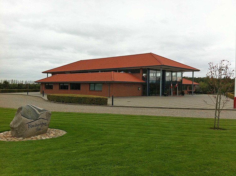
Photo: Beethoven9, CC BY-SA 4.0.
Næsbjerg is a village, which is situated 5 km north of Jesper Svennesen.
Årre
Village

Photo: Beethoven9, CC BY-SA 4.0.
Årre is a small town in southwestern Jutland with a population of 628, located in Årre Parish. The town is located in Varde Municipality and belongs to the Region of Syddanmark. Årre is situated 6 km east of Jesper Svennesen.
Varde

Photo: Taxiarchos228, FAL.
Varde is a town in West Jutland. The municipality is the largest coastal tourism municipality in Denmark and especially attracts tourists to the coastal destinations of Blåvand, Vejers Strand and Henne Strand.
Jesper Svennesen
- Type: Farm shop
- Categories: shop and food
- Location: Varde Municipality, Region of Southern Denmark, Denmark, Nordic countries, Europe
- View on OpenStreetMap
Latitude
55.57772° or 55° 34′ 40″ northLongitude
8.57705° or 8° 34′ 37″ eastOpen location code
9F7CHHHG+3ROpenStreetMap ID
node 9326957963OpenStreetMap feature
shop=farm
This page is based on OpenStreetMap, Wikidata, and Wikimedia Commons.
We’d love your help improving our open data sources. Thank you for contributing.
Satellite Map
Discover Jesper Svennesen from above in high-definition satellite imagery.
Notable Places Nearby
Highlights include Rousthøje Kirkegårde and Kragehøjene.
Nearby Places
Explore places such as Elektriker Løsningen and Ølufvad.
Denmark: Must-Visit Destinations
Delve into Copenhagen, Aarhus, Odense, and Aalborg.
Curious Farm Shops to Discover
Uncover intriguing farm shops from every corner of the globe.
About Mapcarta. Data © OpenStreetMap contributors and available under the Open Database License". Text is available under the CC BY-SA 4.0 license, except for photos, directions, and the map. Photo: Wikimedia, CC BY-SA 3.0.