A Lameira
A Lameira is a neighborhood in Santiago de Compostela, A Coruña, Galicia. A Lameira is situated nearby to the hamlet Lavacolla, as well as near A Esquipa.| Tap on a place to explore it |
Places of Interest
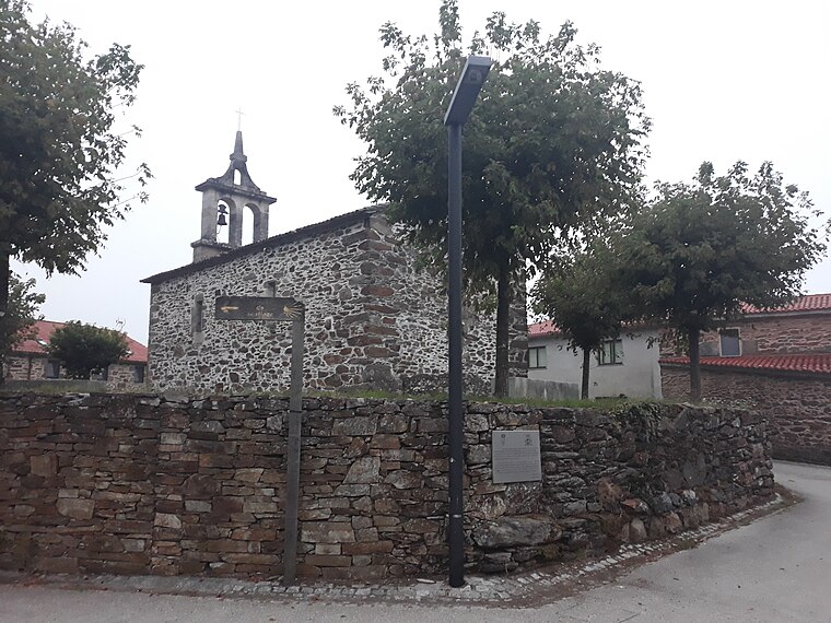
Highlights include Church of Saint Julian and Santiago de Compostela Airport.

Santiago de Compostela Airport
Aerodrome

Photo: Robertonoia, CC BY-SA 4.0.
Santiago–Rosalía de Castro Airport, previously named Lavacolla Airport and also known as Santiago de Compostela Airport, is an international airport serving the autonomous community and historic nationality of Galicia in Spain.

Places in the Area
Nearby places include Lavacolla and San Paio.


A Lameira
- Type: Neighborhood
- Categories: settlement in Galicia and locality
- Location: Santiago de Compostela, A Coruña, Galicia, Green Spain, Spain, Iberia, Europe
- View on OpenStreetMap
Latitude
42.89998° or 42° 53′ 60″ northLongitude
-8.44447° or 8° 26′ 40″ westOpen location code
8CJHVHX4+X6OpenStreetMap ID
node 9376018162OpenStreetMap feature
place=neighbourhoodWikidata ID
Q123213711
This page is based on OpenStreetMap, Wikidata, and Wikimedia Commons.
We’d love your help improving our open data sources. Thank you for contributing.
Satellite Map
Discover A Lameira from above in high-definition satellite imagery.
In Other Languages
From Galician to Irish—“A Lameira” goes by many names.
- Galician: “A Lameira, Sabugueira, Santiago de Compostela”
- Galician: “A Lameira”
- Irish: “A Lameira”
Places with the Same Name
Discover other places named “A Lameira”.
Localities in the Area
Explore places such as A Esquipa and O Pontillón.
Notable Places Nearby
Highlights include Cemiterio de Sabugueira and Parque Infantil da Lavacolla.
Galicia: Must-Visit Destinations
Delve into Lugo, Pontevedra, A Coruña, and Vigo.
Curious Neighborhoods to Discover
Uncover intriguing neighborhoods from every corner of the globe.
About Mapcarta. Data © OpenStreetMap contributors and available under the Open Database License". Text is available under the CC BY-SA 4.0 license, except for photos, directions, and the map. Photo: Lmbuga, CC BY-SA 3.0.