Karkstein
Karkstein is a peak in Bopfingen, Ostalbkreis, Baden-Württemberg and has an elevation of 560 metres. Karkstein is situated nearby to the hamlet Untere Schlägweidmühle, as well as near Baiermühle.| Tap on a place to explore it |
Places of Interest
Highlights include Ipf and Ipf.
Ipf
Scenic viewpoint

Photo: Kreuzschnabel, CC BY-SA 3.0.
The Ipf is a mostly treeless mountain, near Bopfingen, Ostalbkreis, Baden-Württemberg, Germany, with a prehistoric hill fort on its top. The fort is situated on an isolated hill, with a flattened summit surrounded by a stone wall, ditch and large counterscarp.


Places in the Area
Nearby places include Kirchheim am Ries and Lauchheim.
Kirchheim am Ries
Village

Photo: Bobo11, CC BY-SA 3.0.
Kirchheim is a municipality in the district of Ostalbkreis in Baden-Württemberg in Germany.
Lauchheim
Town
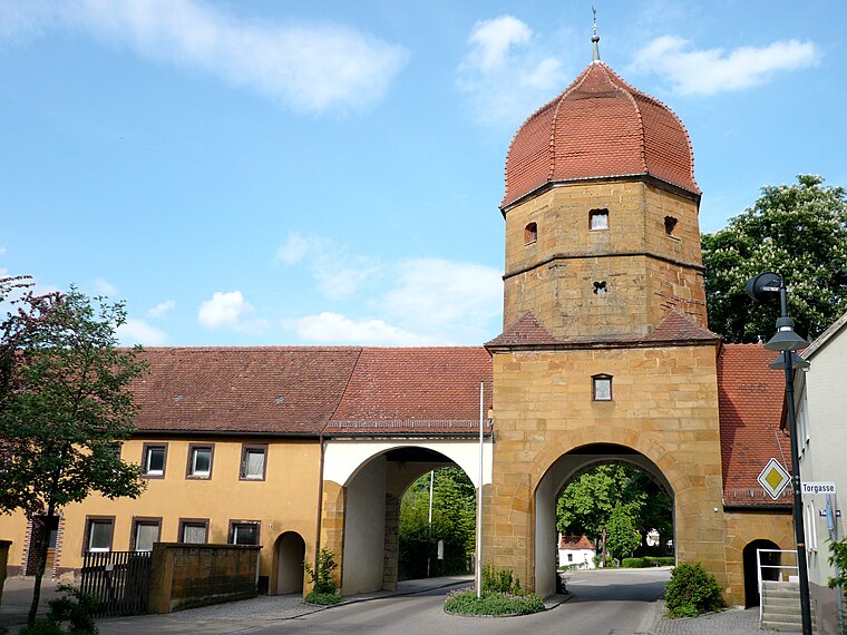
Photo: Ramessos, Public domain.
Lauchheim is a town and municipality with approximately 4800 inhabitants in the Ostalbkreis district, in the Stuttgart region of Baden-Württemberg, Germany.
Aufhausen
Village
Aufhausen is a borough and a suburb of the town of Bopfingen in the Ostalbkreis district of Baden-Württemberg in Germany. The hamlets of Bayermühle and Michelfeld and the houses Schlägweidmühle and Walkmühle belong to the village.
Karkstein
- Type: Peak with an elevation of 560 metres
- Category: landform
- Location: Bopfingen, Ostalbkreis, Stuttgart, Swabian Mountains, Baden-Württemberg, Germany, Central Europe, Europe
- View on OpenStreetMap
Latitude
48.8717° or 48° 52′ 18″ northLongitude
10.3341° or 10° 20′ 3″ eastElevation
560 metres (1,837 feet)Open location code
8FWGV8CM+MJOpenStreetMap ID
node 9386146883OpenStreetMap feature
natural=peak
This page is based on OpenStreetMap, Wikidata, and Wikimedia Commons.
We’d love your help improving our open data sources. Thank you for contributing.
Satellite Map
Discover Karkstein from above in high-definition satellite imagery.
Localities in the Area
Explore places such as Untere Schlägweidmühle and Baiermühle.
Notable Places Nearby
Highlights include Jüdischer Friedhof Oberdorf and Pfarrkirche Christus König.
Swabian Mountains: Must-Visit Destinations
Delve into Ulm, Tübingen, Reutlingen, and Heidenheim.
Curious Peaks to Discover
Uncover intriguing peaks from every corner of the globe.
About Mapcarta. Data © OpenStreetMap contributors and available under the Open Database License". Text is available under the CC BY-SA 4.0 license, except for photos, directions, and the map. Photo: Historiker2, Copyrighted free use.