Pupusas en la 54
Pupusas en la 54 is a fast food restaurant in Brooklyn, New York. Pupusas en la 54 is situated nearby to The Light of the World Church, as well as near Sunset Park Community Church.| Tap on a place to explore it |
Places of Interest Nearby
Highlights include 53rd Street station and 59th Street station.
53rd Street station
Metro station
 The 53rd Street station is a local station on the BMT Fourth Avenue Line of the New York City Subway. Located at 53rd Street and Fourth Avenue in Sunset Park, Brooklyn, it is served by the R train at all times.
59th Street station
Metro station

Photo: Tdorante10, CC BY-SA 4.0.
The 59th Street station is an express station on the BMT Fourth Avenue Line of the New York City Subway. Located at 59th Street and Fourth Avenue in Sunset Park, Brooklyn, it is served by the N and R trains at all times. 59th Street station is situated 1,400 feet southwest of Pupusas en la 54.
NYU Lutheran Medical Center
Hospital
NYU Langone Hospital – Brooklyn is a 450-bed academic teaching hospital in the Sunset Park neighborhood of Brooklyn, New York City. Formerly named NYU Lutheran Medical Center, it functions as the hub of Lutheran Healthcare, a part of NYU Langone Health. NYU Lutheran Medical Center is situated 2,000 feet northwest of Pupusas en la 54.
Places in the Area
Nearby places include Sunset Park and Bay Ridge.
Sunset Park
Neighborhood
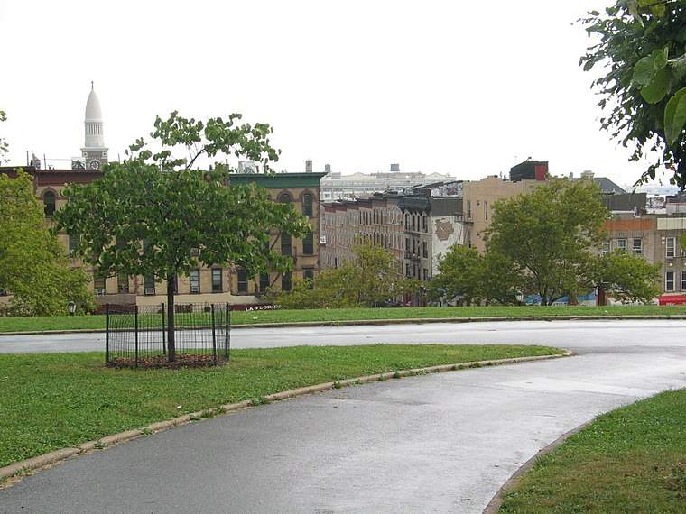
Photo: GK tramrunner229, CC BY 3.0.
Sunset Park is a neighborhood in the western part of the New York City borough of Brooklyn, bounded by Park Slope and Green-Wood Cemetery to the north, Borough Park to the east, Bay Ridge to the south, and New York Harbor to the west.
Bay Ridge
Neighborhood
Bay Ridge is a neighborhood in the southwest corner of the New York City borough of Brooklyn. It is bounded by Sunset Park to the north, Dyker Heights to the east, the Narrows and the Belt Parkway to the west, and Fort Hamilton Army Base and the Verrazzano-Narrows Bridge to the south.
Southwest Brooklyn

Photo: Jim.henderson, CC0.
Southwest Brooklyn is a part of Brooklyn, New York City that encompasses the neighborhoods of Bath Beach, Bay Ridge, Bensonhurst, Borough Park, Dyker Heights, Fort Hamilton, Kensington, Parkville, and Sunset Park.
Pupusas en la 54
- Type: Fast food restaurant
- Cuisine: Latin American
- Categories: food and restaurant
- Location: Brooklyn, New York, Mid-Atlantic, United States, North America
- View on OpenStreetMap
Latitude
40.6443° or 40° 38′ 40″ northLongitude
-74.01455° or 74° 0′ 52″ westOpen location code
87G7JXVP+P5OpenStreetMap ID
node 9432106588OpenStreetMap feature
amenity=fast_foodOpenStreetMap attribute
cuisine=latin_american
This page is based on OpenStreetMap, Wikidata, and Wikimedia Commons.
We’d love your help improving our open data sources. Thank you for contributing.
Satellite Map
Discover Pupusas en la 54 from above in high-definition satellite imagery.
Notable Places Nearby
Highlights include The Light of the World Church and Bay Ridge Seventh Day Adventist Church.
Nearby Places
Explore places such as MVP Barber Shop and Finest Deli & Grill.
Brooklyn: Must-Visit Destinations
Delve into Coney Island and Brighton Beach, Southwest Brooklyn, Williamsburg, and Downtown Brooklyn.
Curious Fast Food Restaurants to Discover
Uncover intriguing fast food restaurants from every corner of the globe.
About Mapcarta. Data © OpenStreetMap contributors and available under the Open Database License". Text is available under the CC BY-SA 4.0 license, except for photos, directions, and the map. Photo: Suiseiseki, CC BY-SA 3.0.