Haus A, Brüsti (SBU)
Haus A, Brüsti (SBU) is a social service facility in Schattdorf, Uri which is located on Rüttistrasse. Haus A, Brüsti (SBU) is situated nearby to Sinnespfad, as well as near Rüttigarten Park.| Tap on a place to explore it |
Places of Interest Nearby
Highlights include Attinghausen Castle and Altdorf railway station.
Attinghausen Castle
Castle

Photo: Roland Zumbuehl, CC BY-SA 3.0.
Attinghausen Castle is a ruined medieval castle in the municipality of Attinghausen in the canton of Uri in Switzerland. It is a Swiss heritage site of national significance. Attinghausen Castle is situated 1 km west of Haus A, Brüsti (SBU).
Altdorf railway station
Railway station

Photo: TheMexxx, CC BY-SA 4.0.
Altdorf railway station is a railway station in the Swiss canton of Uri and municipality of Altdorf. The station is situated on the Gotthard railway north of its crossing of the Alps, and is the most southerly station before that line splits into the older route via Erstfeld and the original Gotthard Tunnel, and the newer route via the Gotthard Base Tunnel. Altdorf railway station is situated 2 km northwest of Haus A, Brüsti (SBU).
Katholische Kirche St. Andreas, Friedhofkapelle, Pfarrhaus und Beinhaus St. Ottilien
Church
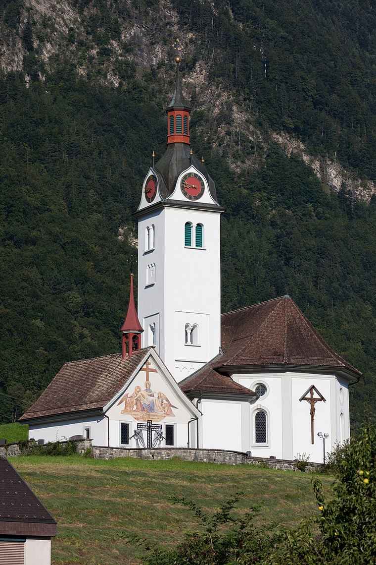
Photo: Roland Zumbuehl, CC BY 3.0.
Katholische Kirche St. Andreas, Friedhofkapelle, Pfarrhaus und Beinhaus St. Ottilien is a church, which is situated 1 km west of Haus A, Brüsti (SBU).
Places in the Area
Nearby places include Attinghausen and Bürglen.
Attinghausen
Village

Photo: Testexperte, CC BY-SA 3.0 de.
Attinghausen is a village and a municipality in the canton of Uri in Switzerland.

Altdorf
Town

Photo: Paebi, CC BY-SA 3.0.
Altdorf is a municipality in Switzerland. It is the capital of the Swiss canton of Uri and retains historic town privileges. It is the place where, according to the legend, William Tell shot the apple from his son's head.
Haus A, Brüsti (SBU)
- Type: Social service facility
- Address: Rüttistrasse 55a, Schattdorf, 6467
- Location: Schattdorf, Uri, Canton of Uri, Switzerland, Central Europe, Europe
- View on OpenStreetMap
Latitude
46.86077° or 46° 51′ 39″ northLongitude
8.6427° or 8° 38′ 34″ eastOperator
Stiftung Behindertenbetriebe Uri (SBU)Open location code
8FRCVJ6V+83OpenStreetMap ID
node 9432291738OpenStreetMap feature
amenity=social_facility
This page is based on OpenStreetMap, Wikidata, and Wikimedia Commons.
We’d love your help improving our open data sources. Thank you for contributing.
Satellite Map
Discover Haus A, Brüsti (SBU) from above in high-definition satellite imagery.
Notable Places Nearby
Highlights include Sinnespfad and Rüttigarten Park.
Nearby Places
Explore places such as Wohnhaus Brüsti (SBU) and Haus B, Brüsti (SBU).
Switzerland: Must-Visit Destinations
Delve into Zurich, Berne, Geneva, and Basel.
Curious Social Service Facilities to Discover
Uncover intriguing social service facilities from every corner of the globe.
About Mapcarta. Data © OpenStreetMap contributors and available under the Open Database License". Text is available under the CC BY-SA 4.0 license, except for photos, directions, and the map. Photo: Aniacra, CC BY-SA 4.0.