Weiherwiesen Ost
Weiherwiesen Ost is in Essingen, Ostalbkreis, Baden-Württemberg. Weiherwiesen Ost is situated nearby to the heath Weiherschlauch, as well as near the archaeological site Hist. Hafnergruben.| Tap on a place to explore it |
Places of Interest Nearby
Highlights include Remsursprung and Dorfmuseum Essingen.
Remsursprung
Spring

Photo: Freak-Line-Community, CC BY-SA 3.0.
Remsursprung is a spring, which is situated 3 km northwest of Weiherwiesen Ost.
Dorfmuseum Essingen
Museum

Photo: Phreexz, CC BY-SA 4.0.
Dorfmuseum Essingen is situated 3½ km north of Weiherwiesen Ost.
Quirinuskirche
Church

Photo: Wikimedia, CC BY-SA 3.0.
Quirinuskirche is a church, which is situated 3½ km north of Weiherwiesen Ost.
Places in the Area
Nearby places include Lauterburg and Bartholomä.
Lauterburg
Village
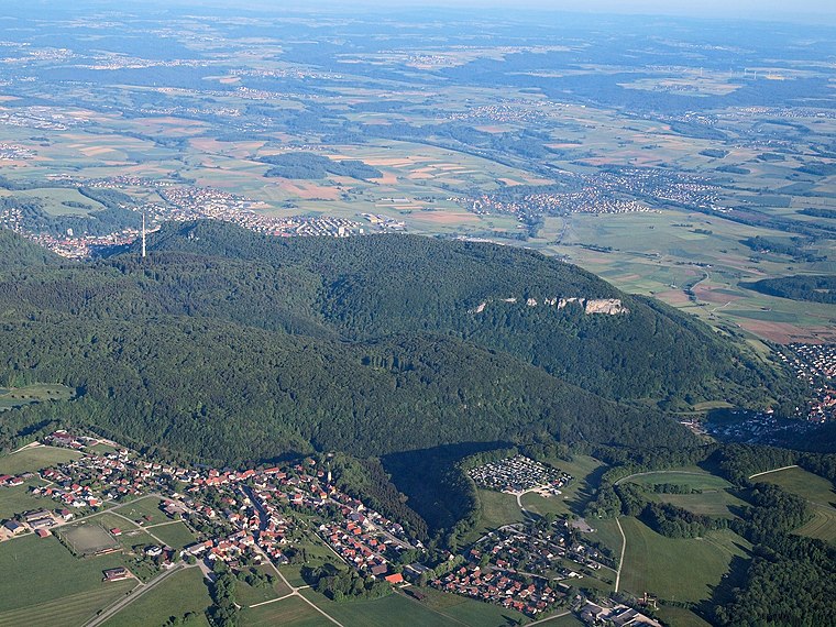
Photo: Kreuzschnabel, CC BY-SA 3.0.
Lauterburg is a village, which is situated 3½ km west of Weiherwiesen Ost.
Bartholomä
Village
 Bartholomä is a municipality in the German state of Baden-Württemberg, in Ostalbkreis district. Bartholomä is mainly a commuter town in the historical region of Swabia, that straddles the border between Baden-Württemberg and Bavaria. Bartholomä is situated 4 km southwest of Weiherwiesen Ost.
Volkmarsberg
Locality

Photo: Kreuzschnabel, CC BY 3.0.
The Volkmarsberg is a mountain in the Swabian Alb, south of Aalen in the Ostalbkreis, Germany, with an altitude of 743 metres. It rises at the edge of the town of Oberkochen, from where there is a 2.5-kilometre path to the summit. Volkmarsberg is situated 4½ km northeast of Weiherwiesen Ost.
Weiherwiesen Ost
- Type: Sign
- Categories: information and tourism
- Location: Essingen, Ostalbkreis, Stuttgart, Baden-Württemberg, Germany, Central Europe, Europe
- View on OpenStreetMap
Latitude
48.77619° or 48° 46′ 34″ northLongitude
10.02901° or 10° 1′ 44″ eastElevation
681 metres (2,234 feet)Operator
Schwäbischer AlbvereinOpen location code
8FWGQ2GH+FJOpenStreetMap ID
node 9439760113OpenStreetMap feature
tourism=information
This page is based on OpenStreetMap, Wikidata, and Wikimedia Commons.
We’d love your help improving our open data sources. Thank you for contributing.
Satellite Map
Discover Weiherwiesen Ost from above in high-definition satellite imagery.
Notable Places Nearby
Highlights include Weiherschlauch and Hist. Hafnergruben.
Nearby Places
Explore places such as Ponordoline and Doline Wasserfall.
Baden-Württemberg: Must-Visit Destinations
Delve into Stuttgart, Heidelberg, Karlsruhe, and Mannheim.
Curious Places to Discover
Uncover intriguing places from every corner of the globe.
About Mapcarta. Data © OpenStreetMap contributors and available under the Open Database License". Text is available under the CC BY-SA 4.0 license, except for photos, directions, and the map. Photo: Traveler100, CC BY-SA 3.0.