PSV - Montabert
PSV - Montabert is an office in Amorebieta-Etxano, Biscay, Basque Country which is located on Arriagane industrialdea. PSV - Montabert is situated nearby to the power station Central Térmica de Boroa, as well as near the peak Ixerango Mendia.| Tap on a place to explore it |
Places of Interest Nearby
Highlights include Central Térmica de Boroa and Amorebieta station.
Central Térmica de Boroa
Power station

Photo: Kepa Diez Ara, CC BY-SA 2.0.
Central Térmica de Boroa is a power station, which is situated 800 metres north of PSV - Montabert.
Amorebieta station
Railway station
 Amorebieta is a railway station in Amorebieta-Etxano, Basque Country, Spain. It is owned by Euskal Trenbide Sarea and operated by Euskotren. It lies on the Bilbao-San Sebastián line. Amorebieta station is situated 2 km southeast of PSV - Montabert.
Church of Santa María de la Asunción, Amorebieta
Church

Photo: Assar, CC BY-SA 3.0.
Church of Santa María de la Asunción, Amorebieta is situated 2 km southeast of PSV - Montabert.
Places in the Area
Nearby places include Amorebieta-Etxano and Lemoa.
Amorebieta-Etxano
Town

Photo: Wikimedia, CC BY-SA 3.0.
Amorebieta-Etxano, also known as Zornotza, is a town and municipality located in Biscay in the Basque Country, an Autonomous Community in northern Spain.
Lemoa
Village
 Lemoa is a town and municipality located in the province of Biscay, in the autonomous community of Basque Country, northern Spain. Lemoa is situated 3 km southwest of PSV - Montabert.
Etxano
Neighborhood
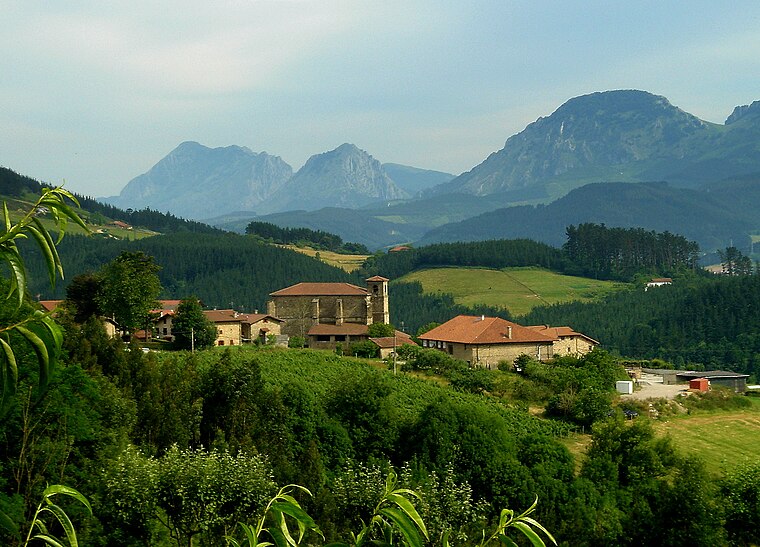
Photo: Assar, CC BY-SA 3.0.
Etxano is a neighborhood, which is situated 3½ km east of PSV - Montabert.
PSV - Montabert
- Type: Office
- Address: Arriagane industrialdea 12, Amorebieta-Etxano, 48340
- Location: Amorebieta-Etxano, Biscay, Basque Country, Northern Spain, Spain, Iberia, Europe
- View on OpenStreetMap
Latitude
43.22786° or 43° 13′ 40″ northLongitude
-2.75291° or 2° 45′ 11″ westOpen location code
8CMV66HW+4ROpenStreetMap ID
node 9445478488OpenStreetMap feature
office=yes
This page is based on OpenStreetMap, Wikidata, and Wikimedia Commons.
We’d love your help improving our open data sources. Thank you for contributing.
Satellite Map
Discover PSV - Montabert from above in high-definition satellite imagery.
Notable Places Nearby
Highlights include Ixerango Mendia and Oxinagabekoa.
Nearby Places
Explore places such as Etxegu and Medesca S.L..
Basque Country: Must-Visit Destinations
Delve into Bilbao, San Sebastián, Vitoria-Gasteiz, and Guernica.
Curious Offices to Discover
Uncover intriguing offices from every corner of the globe.
About Mapcarta. Data © OpenStreetMap contributors and available under the Open Database License". Text is available under the CC BY-SA 4.0 license, except for photos, directions, and the map. Photo: Ander Abadia Zallo, CC BY 4.0.