Zahojnikov vrh
Zahojnikov vrh is a peak in Vransko, Slovenia and has an elevation of 990 metres. Zahojnikov vrh is situated nearby to the hamlet Čreta, as well as near the locality Prilope.| Tap on a place to explore it |
Places of Interest
Highlights include Žovnek Castle and Stopnik Castle.
Žovnek Castle

Photo: Yerpo, CC BY-SA 4.0.
Žovnek Castle is a castle northeast of Braslovče, Slovenia. It lies above Lake Žovnek. The Lords of Žovnek, later Counts of Celje, were named after the castle. The castle was first mentioned in 1278 as Castrum Sevnekke, and later as Sannegg.


Places in the Area
Nearby places include Prekopa and Brode.
Prekopa
Village

Photo: Doremo, CC BY-SA 4.0.
Prekopa is a small settlement in the Municipality of Vransko in central Slovenia. The area is part of the traditional region of Styria. The municipality is now included in the Savinja Statistical Region.
Brode
Village
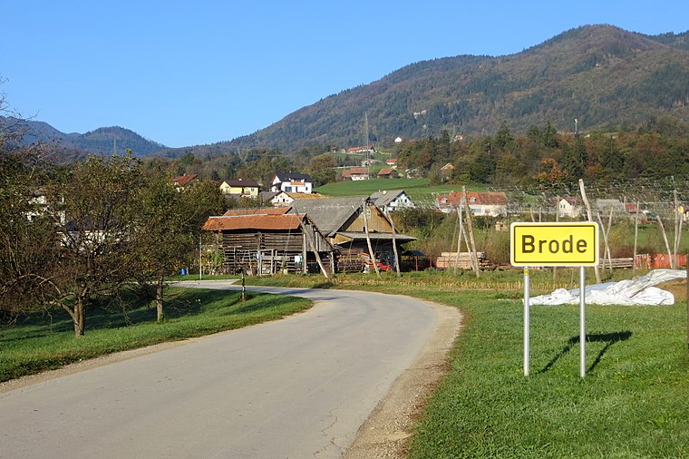
Photo: Doremo, CC BY-SA 4.0.
Brode is a settlement in the Municipality of Vransko in central Slovenia. The area is part of the traditional region of Styria. The municipality is now included in the Savinja Statistical Region. The settlement includes the hamlets of Gaberšek and Tržica.
Čeplje
Village

Photo: Doremo, CC BY-SA 4.0.
Čeplje is a village in the Municipality of Vransko in central Slovenia. It lies on the edge of the Savinja Valley east of Vransko. The Slovenian A1 motorway crosses northwest of the village core with the number 19 Vransko exit built entirely within the settlement's territory.
Zahojnikov vrh
- Type: Peak with an elevation of 990 metres
- Category: landform
- Location: Vransko, Slovenia, Central Europe, Europe
- View on OpenStreetMap
Latitude
46.2754° or 46° 16′ 32″ northLongitude
14.9655° or 14° 57′ 56″ eastElevation
990 metres (3,248 feet)Open location code
8FRP7XG8+56OpenStreetMap ID
node 9461203030OpenStreetMap feature
natural=peak
This page is based on OpenStreetMap, Wikidata, and Wikimedia Commons.
We’d love your help improving our open data sources. Thank you for contributing.
Satellite Map
Discover Zahojnikov vrh from above in high-definition satellite imagery.
Localities in the Area
Explore places such as Čreta and Čreta pri Kokarjah.
Notable Places Nearby
Highlights include Pjes mater and Patriotski.
Slovenia: Must-Visit Destinations
Delve into Ljubljana, Maribor, Koper, and Celje.
Curious Peaks to Discover
Uncover intriguing peaks from every corner of the globe.
About Mapcarta. Data © OpenStreetMap contributors and available under the Open Database License". Text is available under the CC BY-SA 4.0 license, except for photos, directions, and the map. Photo: Jjtkk, CC BY 3.0.