Šentjoški vrh
Šentjoški vrh is a peak in Vransko, Slovenia and has an elevation of 1,077 metres. Šentjoški vrh is situated nearby to the hamlet Vologa, as well as near the village Kale (Jeronim).| Tap on a place to explore it |
Places of Interest
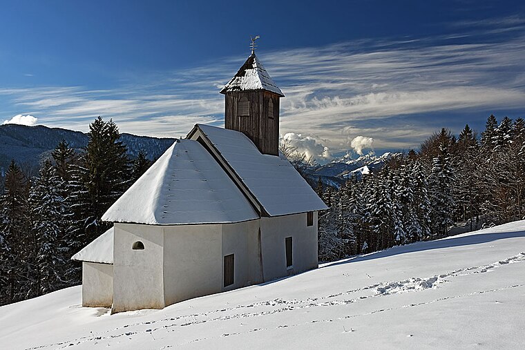
Highlights include Sts. Gervasius and Protasius Church and Sv. Jošt.


Places in the Area
Nearby places include Šmartno ob Dreti and Rovt pod Menino.
Šmartno ob Dreti
Village

Photo: Amadalvarez, CC BY-SA 4.0.
Šmartno ob Dreti is a village on the Dreta River in the Municipality of Nazarje in Slovenia. The area belongs to the traditional region of Styria and is now included in the Savinja Statistical Region.
Rovt pod Menino
Village

Photo: Doremo, CC BY-SA 4.0.
Rovt pod Menino is a dispersed settlement in the hills south of Šmartno ob Dreti in the Municipality of Nazarje in Slovenia. The area belongs to the traditional region of Styria and is now included in the Savinja Statistical Region.
Prapreče
Village

Photo: Doremo, CC BY-SA 4.0.
Prapreče is a settlement in the Municipality of Vransko in central Slovenia. It lies in the valley of Merinščica Creek west of Vransko. The area is part of the traditional Styria region.
Šentjoški vrh
- Type: Peak with an elevation of 1,077 metres
- Category: landform
- Location: Vransko, Slovenia, Central Europe, Europe
- View on OpenStreetMap
Latitude
46.2641° or 46° 15′ 51″ northLongitude
14.9119° or 14° 54′ 43″ eastElevation
1,077 metres (3,533 feet)Open location code
8FRP7W76+JPOpenStreetMap ID
node 9461344816OpenStreetMap feature
natural=peak
This page is based on OpenStreetMap, Wikidata, and Wikimedia Commons.
We’d love your help improving our open data sources. Thank you for contributing.
Satellite Map
Discover Šentjoški vrh from above in high-definition satellite imagery.
Localities in the Area
Explore places such as Vologa and Kale (Jeronim).
Notable Places Nearby
Highlights include Lajšč and Štrukljeve peči.
Slovenia: Must-Visit Destinations
Delve into Ljubljana, Maribor, Koper, and Celje.
Curious Peaks to Discover
Uncover intriguing peaks from every corner of the globe.
About Mapcarta. Data © OpenStreetMap contributors and available under the Open Database License". Text is available under the CC BY-SA 4.0 license, except for photos, directions, and the map. Photo: Jjtkk, CC BY 3.0.