Ministry of Infrastructure and Regional Development
Ministry of Infrastructure and Regional Development is a government office in Chișinău Municipality, Moldova which is located on Piața Marea Adunare Națională. Ministry of Infrastructure and Regional Development is situated nearby to the government office Government, as well as near International Monetary Fund (IMF).| Tap on a place to explore it |
- Type: Government office
- Also known as: “Ministerul Infrastructurii și Dezvoltării Regionale”
- Address: Piața Marea Adunare Națională 1, Chișinău, Municipiul Chișinău, MD-2033
Places of Interest Nearby
Highlights include Triumphal Arch and National Library of the Republic of Moldova.
Triumphal Arch

Photo: Tony Bowden, CC BY-SA 2.0.
The Triumphal Arch is a monument situated in Central Chișinău next to the Nativity Cathedral on Piața Marii Adunări Naționale nr. 2 and directly opposite Government House. Triumphal Arch is situated 120 metres northeast of Ministry of Infrastructure and Regional Development.
National Library of the Republic of Moldova
Library

Photo: Photobank MD, CC0.
The National Library of Moldova located in Chișinău, Moldova is the main library of the state which is responsible for conservation, valorization and protection of written cultural heritage. National Library of the Republic of Moldova is situated 170 metres southwest of Ministry of Infrastructure and Regional Development.
National Museum of Fine Arts
Museum

Photo: Photobank MD, CC0.
The National Museum of Fine Arts of Moldova is a museum in Chișinău, Moldova, founded in November 1939 by Alexandru Plămădeală and Auguste Baillayre. National Museum of Fine Arts is situated 250 metres southwest of Ministry of Infrastructure and Regional Development.
Places in the Area
Nearby places include Chișinău and Sectorul Centru.
Chișinău

Photo: Zserghei, Public domain.
Chișinău, pronounced "Kishinau" with "nau" as in the English word "now", is the capital of Moldova with a population of around 780,000 in the metro area, and 250,000 people coming each day for work and entertainment.
Sectorul Centru
Suburb
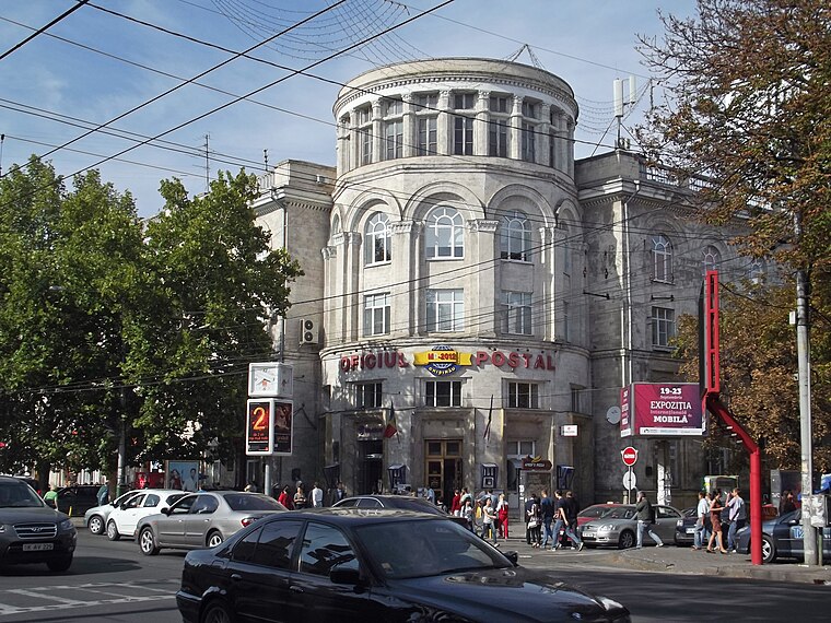
Photo: Борис Мавлютов, CC BY-SA 3.0.
Sectorul Centru is one of the five sectors in Chișinău, the capital of Moldova. The local administration is managed by a pretor appointed by the city administration.
Sectorul Buiucani
Suburb

Photo: Ion Chibzii, CC BY-SA 2.0.
Sectorul Buiucani is one of the five sectors in Chişinău, the capital of Moldova, and the most affluent. The local administration is managed by a pretor appointed by the city administration. Sectorul Buiucani is situated 3 km northwest of Ministry of Infrastructure and Regional Development.
Ministry of Infrastructure and Regional Development
- Categories: office and government building
- Location: Chișinău Municipality, Moldova, Balkans, Europe
- View on OpenStreetMap
Latitude
47.02382° or 47° 1′ 26″ northLongitude
28.8317° or 28° 49′ 54″ eastOpen location code
8GVC2RFJ+GMOpenStreetMap ID
node 9498897448OpenStreetMap feature
office=government
This page is based on OpenStreetMap, Wikidata, and Wikimedia Commons.
We’d love your help improving our open data sources. Thank you for contributing.
Satellite Map
Discover Ministry of Infrastructure and Regional Development from above in high-definition satellite imagery.
In Other Languages
From Russian to Spanish—“Ministry of Infrastructure and Regional Development” goes by many names.
- Russian: “Министерство Инфраструктуры и Регионального Развития”
- Spanish: “Ministerio de Infraestructura y Desarrollo Regional”
Notable Places Nearby
Highlights include International Monetary Fund (IMF) and Government.
Nearby Places
Explore places such as Orologiul and CoffeeMolka.
Moldova: Must-Visit Destinations
Delve into Transnistria, Chișinău, Tiraspol, and Bălţi.
Curious Government Offices to Discover
Uncover intriguing government offices from every corner of the globe.
About Mapcarta. Data © OpenStreetMap contributors and available under the Open Database License". Text is available under the CC BY-SA 4.0 license, except for photos, directions, and the map. Photo: USAID Digital Development, CC BY 2.0.