Rudergerät
Rudergerät is an outdoor gym in Friedrichroda, Gotha, Thuringia. Rudergerät is situated nearby to the outdoor gym Beinpresse, as well as near Mühle.| Tap on a place to explore it |
Places of Interest Nearby
Highlights include Christuskirche and Marienkapelle.
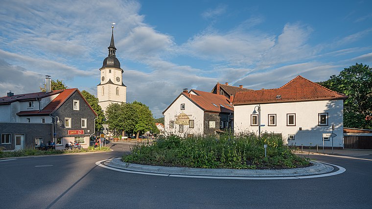
Christuskirche
Church

Photo: SchiDD, CC BY-SA 4.0.
Christuskirche is a church, which is situated 350 metres south of Rudergerät.
Marienkapelle
Church

Photo: Giorno2, CC BY-SA 4.0.
Marienkapelle is a church, which is situated 430 metres northeast of Rudergerät.
St. Karl Borromäus
Church

Photo: Metilsteiner, CC BY 3.0.
St. Karl Borromäus is a church, which is situated 590 metres east of Rudergerät.
Places in the Area
Nearby places include Friedrichroda and Rödichen.
Friedrichroda
Town
 Friedrichroda is a town in the district of Gotha, Thuringia, Germany. It is situated at the north foot of the Thuringian Forest, 21 km by rail southwest of the town of Gotha.
Rödichen
Quarter

Photo: Metilsteiner, CC BY-SA 3.0.
Rödichen is a quarter, which is situated 3 km northeast of Rudergerät.
Schnepfenthal
Village
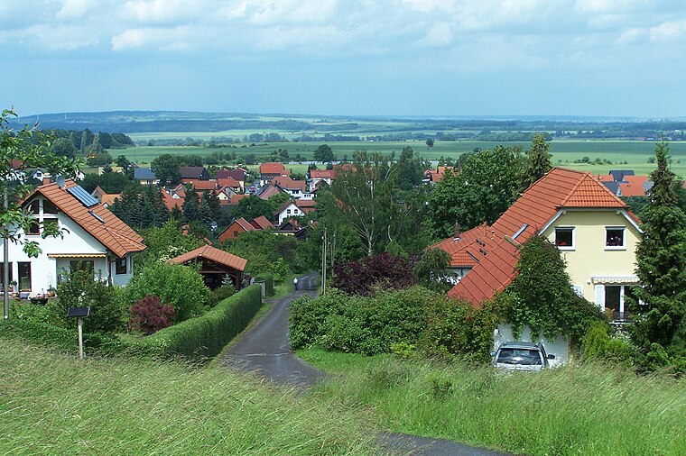
Photo: Metilsteiner, CC BY 3.0.
Schnepfenthal is a village, which is situated 3 km northeast of Rudergerät.
Rudergerät
- Type: Outdoor gym
- Categories: recreation area and sports location
- Location: Friedrichroda, Gotha, Thuringia, Germany, Central Europe, Europe
- View on OpenStreetMap
Latitude
50.85949° or 50° 51′ 34″ northLongitude
10.55949° or 10° 33′ 34″ eastOpen location code
9F2GVH55+QQOpenStreetMap ID
node 9545435306OpenStreetMap feature
leisure=fitness_station
This page is based on OpenStreetMap, Wikidata, and Wikimedia Commons.
We’d love your help improving our open data sources. Thank you for contributing.
Satellite Map
Discover Rudergerät from above in high-definition satellite imagery.
Places with the Same Name
Discover other places named “Rudergerät”.
Notable Places Nearby
Highlights include Beinpresse and Kugellabyrinth.
Nearby Places
Explore places such as Generationen-Aktiv-Park and Johann Georg Eccarius.
Curious Outdoor Gyms to Discover
Uncover intriguing outdoor gyms from every corner of the globe.
About Mapcarta. Data © OpenStreetMap contributors and available under the Open Database License". Text is available under the CC BY-SA 4.0 license, except for photos, directions, and the map. Photo: Taxiarchos228, FAL.