Hayra Pflegedienst
Hayra Pflegedienst is a social service facility in Berlin, Berlin which is located on Schönwalder Straße. Hayra Pflegedienst is situated nearby to Promille, as well as near the arts center L’écritoire.| Tap on a place to explore it |
- Type: Social service facility
- Address: Schönwalder Straße 11, Berlin, 13347
- Wheelchair access: yes
Places of Interest Nearby
Highlights include Berlin Wall and Berlin-Wedding station.
Berlin Wall

Photo: fauxaddress, CC BY-SA 2.0.
The Berlin Wall, officially the Anti-Fascist Protection Rampart, was a guarded concrete barrier that encircled West Berlin from 1961 to 1989, separating it from East Berlin and the German Democratic Republic. Berlin Wall is situated 1½ km southeast of Hayra Pflegedienst.
Berlin-Wedding station
Railway station

Photo: IngolfBLN, CC BY-SA 2.0.
Berlin-Wedding is a station in the Wedding locality of Berlin and serves the S-Bahn lines S41 and S42 and the U-Bahn line U6. Berlin-Wedding station is situated 360 metres west of Hayra Pflegedienst.
Dankes-Kirche
Church
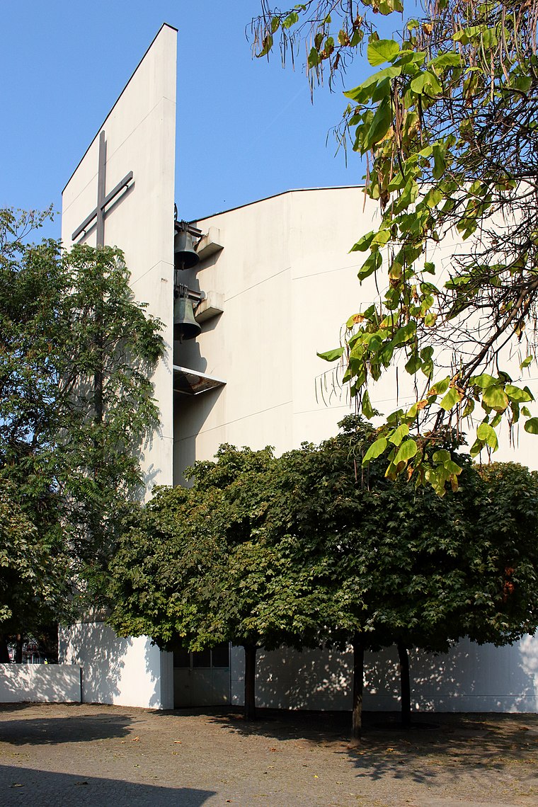
Photo: Queryzo, CC BY-SA 4.0.
Dankes-Kirche is a church, which is situated 210 metres southwest of Hayra Pflegedienst.
Places in the Area
Nearby places include Europacity and Wedding.

Wedding
Suburb

Photo: A.Savin, CC BY-SA 3.0.
Wedding is a locality in the borough of Mitte, Berlin, Germany. It was a separate borough in the north-western inner city until it was fused with Tiergarten and Mitte in Berlin's 2001 administrative reform.
Heinrich-Zille-Siedlung
Neighborhood

Photo: Gunnar Klack, CC BY-SA 4.0.
Heinrich-Zille-Siedlung is a neighborhood.
Hayra Pflegedienst
- Location: Berlin, Berlin, Stadt, Berlin, Germany, Central Europe, Europe
- View on OpenStreetMap
Latitude
52.54223° or 52° 32′ 32″ northLongitude
13.37225° or 13° 22′ 20″ eastOperator
Hayra Pflegedienst GmbHOpen location code
9F4MG9RC+VVOpenStreetMap ID
node 9557005093OpenStreetMap feature
amenity=social_facilityOpenStreetMap attribute
wheelchair=yes
This page is based on OpenStreetMap, Wikidata, and Wikimedia Commons.
We’d love your help improving our open data sources. Thank you for contributing.
Satellite Map
Discover Hayra Pflegedienst from above in high-definition satellite imagery.
Notable Places Nearby
Highlights include Promille and L’écritoire.
Nearby Places
Explore places such as Schrinner-KFO and Human Hauspflegestation.
Berlin: Must-Visit Destinations
Delve into Mitte, East Central, City West, and East Berlin.
Curious Social Service Facilities to Discover
Uncover intriguing social service facilities from every corner of the globe.
About Mapcarta. Data © OpenStreetMap contributors and available under the Open Database License". Text is available under the CC BY-SA 4.0 license, except for photos, directions, and the map. Photo: Berthold Werner, CC BY-SA 3.0.