Haar@mbulance
Haar@mbulance is in Hamburg, Hamburg, and is located on Lauenburger Straße. Haar@mbulance is situated nearby to the community center Spielhaus Dulsberg, as well as near the railway stop Friedrichsberg station.| Tap on a place to explore it |
Places of Interest Nearby
Highlights include Frohbotschaftskirche and Friedrichsberg station.
Frohbotschaftskirche
Church

Photo: An-d, CC BY-SA 3.0.
Frohbotschaftskirche is a church, which is situated 320 metres northeast of Haar@mbulance.
Friedrichsberg station
Railway stop

Photo: Wikimedia, Public domain.
Friedrichsberg is a station on the Hamburg-Altona link line and served by the trains of Hamburg S-Bahn line S1. The station was originally opened in 1906 and is located in the Hamburg district of Dulsberg, Germany. Friedrichsberg station is situated 290 metres southwest of Haar@mbulance.
Friedrichsberger Park
Park

Photo: UweRohwedder, CC BY-SA 4.0.
Friedrichsberger Park is situated 620 metres southwest of Haar@mbulance.
Places in the Area
Nearby places include Dulsberg and Wandsbek.
Dulsberg
Suburb

Photo: An-d, CC BY-SA 3.0.
Dulsberg is a quarter of Hamburg, Germany, in the borough of Hamburg-Nord. In the east and the south it borders Wandsbek.
Wandsbek
Suburb

Photo: Staro1, CC BY-SA 3.0.
Wandsbek is an urban quarter in the Wandsbek borough of Hamburg, Germany, and the former city Wandsbek in the Duchy of Holstein. In 2020 the population was 36,671. It was also the birthplace of Großadmiral Erich Raeder.
Barmbek-Süd
Suburb
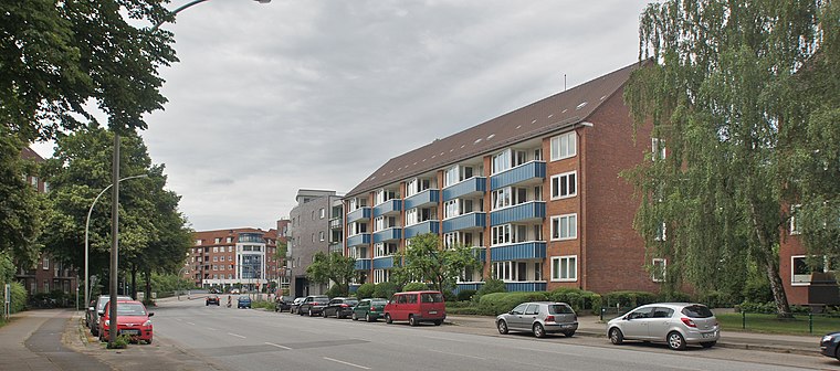
Photo: flamenc, CC BY-SA 3.0.
Barmbek-Süd is a quarter of Hamburg, Germany, in the borough of Hamburg-Nord. It is located in the east of Hamburg-Nord, approximately five kilometers from Hamburg city center.
Haar@mbulance
- Type: Workshop
- Address: Lauenburger Straße 11, Hamburg, 22049
- Location: Hamburg, Hamburg, Freie und Hansestadt, Hamburg, Germany, Central Europe, Europe
- View on OpenStreetMap
Latitude
53.57859° or 53° 34′ 43″ northLongitude
10.05997° or 10° 3′ 36″ eastOpen location code
9F5GH3H5+CXOpenStreetMap ID
node 9561019220OpenStreetMap feature
craft=wigmaker
This page is based on OpenStreetMap, Wikidata, and Wikimedia Commons.
We’d love your help improving our open data sources. Thank you for contributing.
Satellite Map
Discover Haar@mbulance from above in high-definition satellite imagery.
Notable Places Nearby
Highlights include Spielhaus Dulsberg and Elsässer Platz.
Nearby Places
Explore places such as Meine Kita and Der Barbier.
Hamburg: Must-Visit Destinations
Delve into Altona-St. Pauli, Neustadt-Altstadt, East Hamburg, and North Hamburg.
Curious Places to Discover
Uncover intriguing places from every corner of the globe.
About Mapcarta. Data © OpenStreetMap contributors and available under the Open Database License". Text is available under the CC BY-SA 4.0 license, except for photos, directions, and the map. Photo: Joerg Moellenkamp, CC BY 2.0.