V&G
V&G is a restaurant in Martigny, Valais which is located on Rue du Grand Verger. V&G is situated nearby to the theater building Théâtre Alambic, as well as near the library Valais film center.| Tap on a place to explore it |
- Opening hours:
Tuesday—Friday: 9:00 AM—6:30 PM
Saturday: 9:00 AM—5:00 PM - Email: secretariat@nouvelleterre.net
- Type: Restaurant
- Address: Rue du Grand Verger 12, Martigny, 1920
Places of Interest Nearby
Highlights include Valais film center and Martigny railway station.
Valais film center
Library

Photo: Vaquins, CC BY-SA 3.0.
Valais film center is a library, which is situated 120 metres northwest of V&G.
Martigny railway station
Railway station

Photo: Tukka, CC BY-SA 3.0.
Martigny railway station is a railway station in the municipality of Martigny, in the Swiss canton of Valais. It is an intermediate stop on the standard gauge Simplon line of Swiss Federal Railways and the junction of the 1,000 mm Martigny–Châtelard and standard gauge Martigny–Orsières lines of Transports de Martigny et Régions and RegionAlps, respectively. Martigny railway station is situated 450 metres northeast of V&G.
Church Notre-Dame des Champs
Religious building

Photo: Vaquins, CC BY-SA 3.0.
Church Notre-Dame des Champs is a religious building, which is situated 250 metres southwest of V&G.
Places in the Area
Nearby places include Bovernier and Gorges du Durnand.
Bovernier
Village
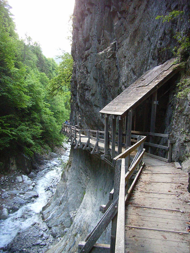
Photo: Lysippos, CC BY-SA 2.0 de.
Bovernier is a municipality in the district of Martigny in the canton of Valais in Switzerland. Bovernier is situated 2½ km south of V&G.
Gorges du Durnand
Locality

Photo: Gaelbourgeois, CC BY-SA 4.0.
Gorges du Durnand is a locality, which is situated 3½ km south of V&G.
Vernayaz
Village

Photo: copetan, CC BY-SA 2.0.
Vernayaz is a municipality in the district of Saint-Maurice, in the canton of Valais, Switzerland. Vernayaz is situated 4½ km northwest of V&G.
V&G
- Category: food
- Location: Martigny, Martigny District, Valais, Switzerland, Central Europe, Europe
- View on OpenStreetMap
Latitude
46.10236° or 46° 6′ 9″ northLongitude
7.07604° or 7° 4′ 34″ eastOpen location code
8FR9432G+WCOpenStreetMap ID
node 9566783832OpenStreetMap feature
amenity=restaurant
This page is based on OpenStreetMap, Wikidata, and Wikimedia Commons.
We’d love your help improving our open data sources. Thank you for contributing.
Satellite Map
Discover V&G from above in high-definition satellite imagery.
Notable Places Nearby
Highlights include Théâtre Alambic and Cinéma Casino.
Nearby Places
Explore places such as Grand Verger and carolefleurs.
Curious Restaurants to Discover
Uncover intriguing restaurants from every corner of the globe.
About Mapcarta. Data © OpenStreetMap contributors and available under the Open Database License". Text is available under the CC BY-SA 4.0 license, except for photos, directions, and the map. Photo: Wikimedia, CC0.