R. da Amizade - Alto da Serra
R. da Amizade - Alto da Serra is a bus stop in Barreiro e Lavradio, Barreiro, Setúbal District. R. da Amizade - Alto da Serra is situated nearby to the church A Igreja de Jesus Cristo dos Santos dos Últimos Dias, as well as near the shopping center Centro Comercial das Fontaínhas.| Tap on a place to explore it |
Places of Interest Nearby
Highlights include Moinho de Maré em Alhos Vedros and Lavradio train station.
Moinho de Maré em Alhos Vedros

Photo: Wikimedia, Public domain.
Moinho de Maré em Alhos Vedros is situated 1½ km northeast of R. da Amizade - Alto da Serra.
Lavradio train station
Railway station

Photo: Rúdisicyon, CC BY-SA 4.0.
Lavradio train station is a railway station, which is situated 1½ km northwest of R. da Amizade - Alto da Serra.
Alhos Vedros Halt
Railway station

Photo: Rúdisicyon, CC BY-SA 4.0.
Alhos Vedros Halt is a railway station, which is situated 1½ km east of R. da Amizade - Alto da Serra.
Places in the Area
Nearby places include Freguesia de Baixa da Banheira and Santo André.
Freguesia de Baixa da Banheira
Town
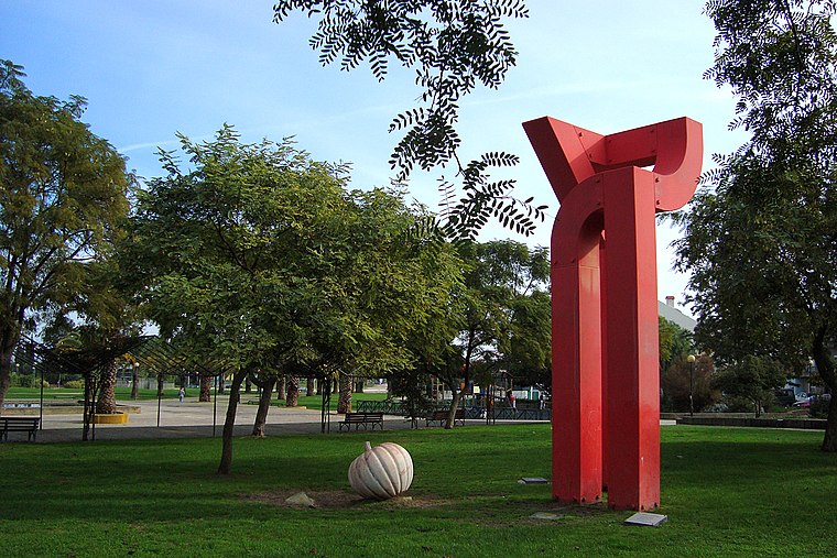
Photo: Xuaxo, CC BY-SA 3.0.
Freguesia de Baixa da Banheira is a town.


R. da Amizade - Alto da Serra
- Type: Bus stop
- Category: transportation
- Location: Barreiro e Lavradio, Barreiro, Setúbal District, Portugal, Iberia, Europe
- View on OpenStreetMap
Latitude
38.64941° or 38° 38′ 58″ northLongitude
-9.04669° or 9° 2′ 48″ westOperator
TCBNetwork
TCB;Carris MetropolitanaOpen location code
8CCGJXX3+Q8OpenStreetMap ID
node 9569282335OpenStreetMap feature
highway=bus_stopOpenStreetMap feature
public_transport=platform
This page is based on OpenStreetMap, Wikidata, and Wikimedia Commons.
We’d love your help improving our open data sources. Thank you for contributing.
Satellite Map
Discover R. da Amizade - Alto da Serra from above in high-definition satellite imagery.
Notable Places Nearby
Highlights include A Igreja de Jesus Cristo dos Santos dos Últimos Dias and Centro Comercial das Fontaínhas.
Nearby Places
Explore places such as R. da Amizade - Alto da Serra and Alto da Serra.
Portugal: Must-Visit Destinations
Delve into Lisbon, Caldas da Rainha, Porto, and Coimbra.
Curious Bus Stops to Discover
Uncover intriguing bus stops from every corner of the globe.
About Mapcarta. Data © OpenStreetMap contributors and available under the Open Database License". Text is available under the CC BY-SA 4.0 license, except for photos, directions, and the map. Photo: Vitor Oliveira, CC BY-SA 2.0.