Taberna El Pino
Taberna El Pino is a pub in Santander, Cantabria which is located on Barrio de San Martín del Pino. Taberna El Pino is situated nearby to the pitch Pista polideportiva San Martín del Pino, as well as near the shopping center Centro Comercial Peñacastillo.| Tap on a place to explore it |
Places of Interest Nearby
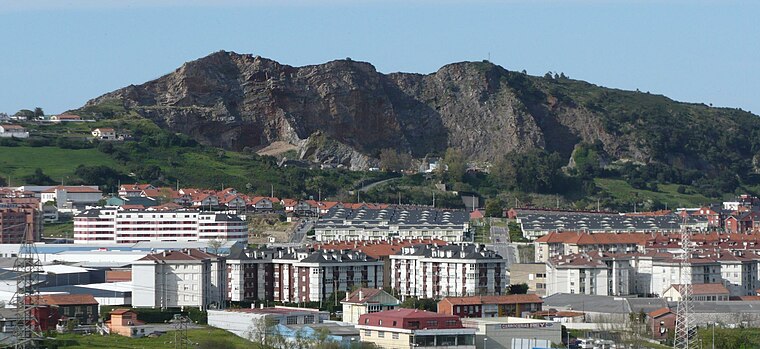
Highlights include Nueva Montaña and Peña Castillo.
Nueva Montaña
Railway stop
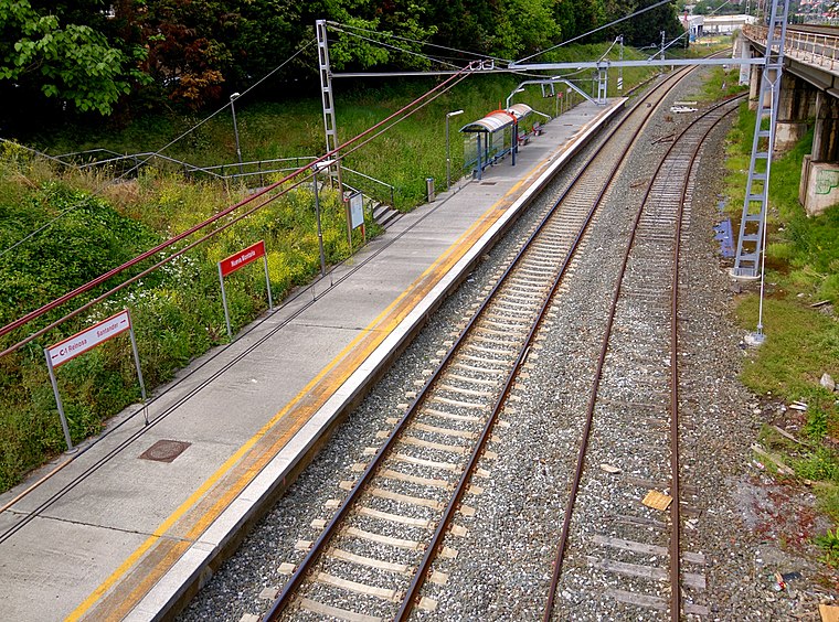
Photo: LMLM, CC BY-SA 4.0.
Nueva Montaña is a railway stop, which is situated 470 metres east of Taberna El Pino.
Nueva Montaña
Railway stop

Photo: LMLM, CC BY-SA 3.0.
Nueva Montaña is a railway stop, which is situated 500 metres southeast of Taberna El Pino.
Places in the Area
Nearby places include Nueva Montaña and Peñacastillo.

Muriedas
Quarter

Photo: Zarateman, CC BY-SA 3.0.
Muriedas is the capital of the municipality of Camargo. The town is situated 7 kilometers from Santander. Within just 2 kilometers away is the Santander Airport, which is located in Maliaño, in the town of Camargo, as well as the bay and harbor.
Taberna El Pino
- Type: Pub
- Address: Barrio de San Martín del Pino 13-8, Santander, 39011
- Location: Santander, Cantabria, Green Spain, Spain, Iberia, Europe
- View on OpenStreetMap
Latitude
43.44387° or 43° 26′ 38″ northLongitude
-3.85297° or 3° 51′ 11″ westOpen location code
8CMRC4VW+GROpenStreetMap ID
node 9615143726OpenStreetMap feature
amenity=pub
This page is based on OpenStreetMap, Wikidata, and Wikimedia Commons.
We’d love your help improving our open data sources. Thank you for contributing.
Satellite Map
Discover Taberna El Pino from above in high-definition satellite imagery.
Notable Places Nearby
Highlights include Pista polideportiva San Martín del Pino and Centro Comercial Peñacastillo.
Nearby Places
Explore places such as San Martín del Pino 13 and Mar Lerin.
Cantabria: Must-Visit Destinations
Delve into Santillana del Mar, Castro Urdiales, and Valles Pasiegos.
Curious Pubs to Discover
Uncover intriguing pubs from every corner of the globe.
About Mapcarta. Data © OpenStreetMap contributors and available under the Open Database License". Text is available under the CC BY-SA 4.0 license, except for photos, directions, and the map. Photo: Kulmalukko, CC BY-SA 4.0.