Virgen del Carmem
Virgen del Carmem is a wayside shrine in Arafo, Santa Cruz de Tenerife. Virgen del Carmem is situated nearby to the beach Playa La Hornilla, as well as near the community center Centro Pesquero. centro social.| Tap on a place to explore it |
Places of Interest Nearby
Highlights include Basilica of Candelaria and Plaza de la Villa de Teror.
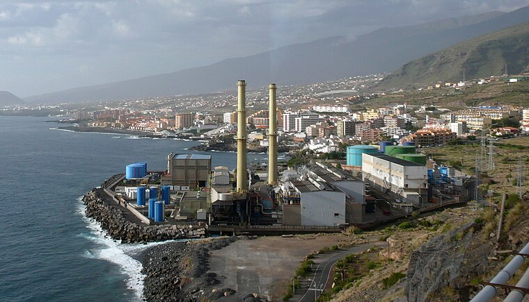
Basilica of Candelaria
Church

Photo: Xauxa, CC BY-SA 3.0.
The Basilica of the Royal Marian Shrine of Our Lady of Candelaria is a Roman Catholic minor basilica, the first Marian shrine of the Canary Islands, located in the municipality and city of Candelaria on the island of Tenerife. Basilica of Candelaria is situated 740 metres south of Virgen del Carmem.
Plaza de la Villa de Teror
Square

Photo: Mike Peel, CC BY-SA 4.0.
Plaza de la Villa de Teror is a square, which is situated 360 metres southwest of Virgen del Carmem.
Plaza de la Patrona de Canarias
Square

Photo: Mike Peel, CC BY-SA 4.0.
The Plaza de la Patrona de Canarias is a large square in Candelaria, Tenerife. It is next to the Basilica of Candelaria, a meeting place of pilgrims and festivities celebrating the most important of the municipality. Plaza de la Patrona de Canarias is situated 680 metres south of Virgen del Carmem.
Places in the Area
Nearby places include Candelaria and Candelaria.

Candelaria
 Candelaria is a city on the east shore of the island Tenerife in the Canary Islands archipelago. It is a city of 28,000 inhabitants, best known for its basilica which includes the sculpture of the Virgin Mary and mural paintings.
Virgen del Carmem
- Type: Wayside shrine
- Category: historic site
- Location: Arafo, Santa Cruz de Tenerife, Canary Islands, Spain, Iberia, Europe
- View on OpenStreetMap
Latitude
28.35779° or 28° 21′ 28″ northLongitude
-16.36881° or 16° 22′ 8″ westOpen location code
7CW59J5J+4FOpenStreetMap ID
node 9626946817OpenStreetMap feature
historic=wayside_shrine
This page is based on OpenStreetMap, Wikidata, and Wikimedia Commons.
We’d love your help improving our open data sources. Thank you for contributing.
Satellite Map
Discover Virgen del Carmem from above in high-definition satellite imagery.
Notable Places Nearby
Highlights include Playa La Hornilla and Centro Pesquero. centro social.
Nearby Places
Explore places such as Centro Comercial El Pozo and Cruz Roja Española.
Canary Islands: Must-Visit Destinations
Delve into Santa Cruz de Tenerife, Las Palmas, La Palma, and La Gomera.
Curious Wayside Shrines to Discover
Uncover intriguing wayside shrines from every corner of the globe.
About Mapcarta. Data © OpenStreetMap contributors and available under the Open Database License". Text is available under the CC BY-SA 4.0 license, except for photos, directions, and the map. Photo: Wikimedia, CC BY-SA 4.0.