Cabane de Conques - Luchonais
Cabane de Conques - Luchonais is a shelter in Jurvielle, Arrondissement of Saint-Gaudens, Occitanie. Cabane de Conques - Luchonais is situated nearby to the peak Cap du pré de Rouquet, as well as near the mountain saddle Port de Pinate.| Tap on a place to explore it |
Places of Interest Nearby
Highlights include Lac de Bareilles and Col de Peyresourde.
Lac de Bareilles
Lake

Photo: Momain, CC BY-SA 3.0.
Lac de Bareilles is a lake in Hautes-Pyrénées, France. The lake can be reached by foot from the village of Bareilles in 30 minutes. Lac de Bareilles is situated 3 km northwest of Cabane de Conques - Luchonais.
Col de Peyresourde
Mountain saddle
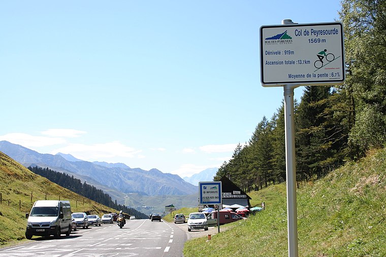
Photo: Andy Hawkins, CC BY-SA 2.0.
The Col de Peyresourde is a mountain pass in the central Pyrenees on the border of the department of Haute-Garonne and Hautes-Pyrénées in France. It is situated on the D618 road between Bagnères-de-Luchon and Arreau. Col de Peyresourde is situated 4 km south of Cabane de Conques - Luchonais.
Église Saint-Christophe
Church

Photo: Père Igor, CC BY-SA 3.0.
Église Saint-Christophe is a church, which is situated 2 km south of Cabane de Conques - Luchonais.
Places in the Area
Nearby places include Portet-de-Luchon and Poubeau.
Portet-de-Luchon
Village

Photo: Wikimedia, CC BY-SA 3.0.
Portet-de-Luchon is a commune in the Haute-Garonne department in southwestern France. Portet-de-Luchon is situated 2½ km south of Cabane de Conques - Luchonais.
Poubeau
Village

Photo: Père Igor, CC BY-SA 3.0.
Poubeau is a commune in the Haute-Garonne department in southwestern France. Poubeau is situated 3 km southeast of Cabane de Conques - Luchonais.
Bourg-d’Oueil
Village

Photo: Père Igor, CC BY-SA 3.0.
Bourg-d'Oueil is a commune in the Haute-Garonne department in southwestern France. Bourg-d’Oueil is situated 3 km northeast of Cabane de Conques - Luchonais.
Cabane de Conques - Luchonais
- Type: Shelter
- Location: Jurvielle, Arrondissement of Saint-Gaudens, Haute-Garonne, Occitanie, France, Europe
- View on OpenStreetMap
Latitude
42.83601° or 42° 50′ 10″ northLongitude
0.47817° or 0° 28′ 41″ eastOpen location code
8FJ2RFPH+C7OpenStreetMap ID
node 968205063OpenStreetMap feature
amenity=shelter
This page is based on OpenStreetMap, Wikidata, and Wikimedia Commons.
We’d love your help improving our open data sources. Thank you for contributing.
Satellite Map
Discover Cabane de Conques - Luchonais from above in high-definition satellite imagery.
Notable Places Nearby
Highlights include Cap du pré de Rouquet and Port de Pinate.
Nearby Places
Explore places such as Cabane d Espiau sup and Cabane Col de Louron ou Coume de Baque.
Haute-Garonne: Must-Visit Destinations
Delve into Toulouse, Boutx, Tarn, and Roquesérière.
Curious Shelters to Discover
Uncover intriguing shelters from every corner of the globe.
About Mapcarta. Data © OpenStreetMap contributors and available under the Open Database License". Text is available under the CC BY-SA 4.0 license, except for photos, directions, and the map. Photo: Kulmalukko, CC BY-SA 3.0.