Bötzinger Wein Aussichten
Bötzinger Wein Aussichten is a beer garden in Eichstetten am Kaiserstuhl, Breisgau-Hochschwarzwald, Baden-Württemberg. Bötzinger Wein Aussichten is situated nearby to the mountain saddle Vogelsang-Pass, as well as near the scenic viewpoint Panoramakarte Alt-Vogtsburg.| Tap on a place to explore it |
Places of Interest Nearby
Highlights include Eichelspitzturm and Eichelspitze.
Eichelspitzturm
Scenic viewpoint

Photo: Steffen 962, Public domain.
Eichelspitzturm is a scenic viewpoint, which is situated 730 metres north of Bötzinger Wein Aussichten.

Haselschacher Buck
Nature reserve

Photo: Xiomara88, CC BY-SA 3.0.
Haselschacher Buck is a nature reserve.
Places in the Area
Nearby places include Wasenweiler and Gottenheim.
Wasenweiler
Village

Photo: pictures Jettcom, CC BY 3.0.
Wasenweiler is a village, which is situated 4 km south of Bötzinger Wein Aussichten.
Gottenheim
Village
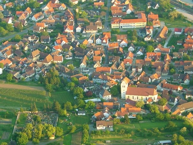
Photo: Luftfahrer, CC BY-SA 3.0.
Gottenheim is an independent village at the northern tip of the Tuniberg, 15 km west of Freiburg im Breisgau. It is located in the administrative region Breisgau-Hochschwarzwald in the federal state of Baden-Württemberg, Germany. Gottenheim is situated 4½ km southeast of Bötzinger Wein Aussichten.
Bahlingen
Village

Photo: Luftfahrer, CC BY-SA 3.0.
Bahlingen am Kaiserstuhl is a municipality in the district of Emmendingen, Baden-Württemberg, southwestern Germany. Bahlingen is situated 5 km northeast of Bötzinger Wein Aussichten.
Bötzinger Wein Aussichten
- Type: Beer garden
- Wheelchair access: yes
- Location: Eichstetten am Kaiserstuhl, Breisgau-Hochschwarzwald, Freiburg Region, Baden-Württemberg, Germany, Central Europe, Europe
- View on OpenStreetMap
Latitude
48.08633° or 48° 5′ 11″ northLongitude
7.69241° or 7° 41′ 33″ eastOperator
Winzergenossenschaft Bötzingen eGOpen location code
8FW93MPR+GXOpenStreetMap ID
node 9688700926OpenStreetMap feature
amenity=biergartenOpenStreetMap attribute
wheelchair=yes
This page is based on OpenStreetMap, Wikidata, and Wikimedia Commons.
We’d love your help improving our open data sources. Thank you for contributing.
Satellite Map
Discover Bötzinger Wein Aussichten from above in high-definition satellite imagery.
Notable Places Nearby
Highlights include Vogelsang-Pass and Panoramakarte Alt-Vogtsburg.
Nearby Places
Explore places such as Vogelsang-Pass and Wanderparkplatz Vogelsang.
Baden-Württemberg: Must-Visit Destinations
Delve into Stuttgart, Heidelberg, Karlsruhe, and Mannheim.
Curious Beer Gardens to Discover
Uncover intriguing beer gardens from every corner of the globe.
About Mapcarta. Data © OpenStreetMap contributors and available under the Open Database License". Text is available under the CC BY-SA 4.0 license, except for photos, directions, and the map. Photo: Traveler100, CC BY-SA 3.0.