Fonte Senhora (R Hortas 17)
Fonte Senhora (R Hortas 17) is a bus stop in Atalaia e Alto Estanqueiro-Jardia, Montijo, Setúbal District. Fonte Senhora (R Hortas 17) is situated nearby to the museum Museu Agrícola da Atalaia, as well as near the peak Senhora da Atalaia.| Tap on a place to explore it |
Places of Interest Nearby
Highlights include Igreja de Nossa Senhora da Atalaia and Moinho de Maré da Lançada.
Igreja de Nossa Senhora da Atalaia
Church

Photo: Vitor Oliveira, CC BY-SA 2.0.
Igreja de Nossa Senhora da Atalaia is a church, which is situated 400 metres southwest of Fonte Senhora (R Hortas 17).
Moinho de Maré da Lançada
Building

Photo: AGoulart, CC BY-SA 4.0.
Moinho de Maré da Lançada is a building, which is situated 3½ km southwest of Fonte Senhora (R Hortas 17).
Places in the Area
Nearby places include Sarilhos Grandes and Alcochete.
Sarilhos Grandes
Village

Photo: Vitor Oliveira, CC BY-SA 2.0.
Sarilhos Grandes is a village, which is situated 5 km southwest of Fonte Senhora (R Hortas 17).
Alcochete

Photo: Vitor Oliveira, CC BY-SA 2.0.
Alcochete is a municipality in Portugal. The population in 2011 was 17,569, in an area of 128.36 km². The municipality is composed of three parishes and is located in Setúbal District.
Samouco
Town
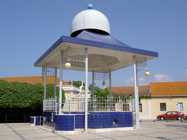
Photo: Dougal2010, CC BY-SA 3.0.
Samouco is a town, which is situated 7 km west of Fonte Senhora (R Hortas 17).
Fonte Senhora (R Hortas 17)
- Type: Bus stop
- Category: transportation
- Location: Atalaia e Alto Estanqueiro-Jardia, Montijo, Setúbal District, Portugal, Iberia, Europe
- View on OpenStreetMap
Latitude
38.71078° or 38° 42′ 39″ northLongitude
-8.92007° or 8° 55′ 12″ westNetwork
Carris MetropolitanaOpen location code
8CCHP36H+8XOpenStreetMap ID
node 9708048189OpenStreetMap feature
highway=bus_stopOpenStreetMap feature
public_transport=platform
This page is based on OpenStreetMap, Wikidata, and Wikimedia Commons.
We’d love your help improving our open data sources. Thank you for contributing.
Satellite Map
Discover Fonte Senhora (R Hortas 17) from above in high-definition satellite imagery.
Notable Places Nearby
Highlights include Museu Agrícola da Atalaia and Senhora da Atalaia.
Nearby Places
Explore places such as Fonte Senhora (R Hortas 17) and Colégio da Alameda.
Portugal: Must-Visit Destinations
Delve into Lisbon, Caldas da Rainha, Porto, and Coimbra.
Curious Bus Stops to Discover
Uncover intriguing bus stops from every corner of the globe.
About Mapcarta. Data © OpenStreetMap contributors and available under the Open Database License". Text is available under the CC BY-SA 4.0 license, except for photos, directions, and the map. Photo: Vitor Oliveira, CC BY-SA 2.0.